Search Constraints
You searched for:
Associated Places Great Britain
Remove constraint Associated Places: Great BritainImage Available Available
Remove constraint Image Available: AvailableClassification Maps & Atlases (manuscript)
Remove constraint Classification: Maps & Atlases (manuscript)Search Results
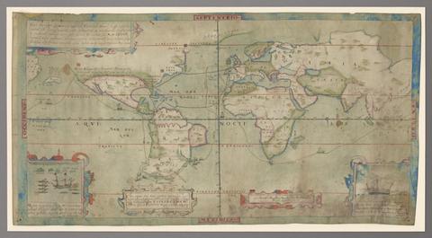
1
- Vera descriptio expeditionis nauticae Francisci Draci Angli, cognitis aurati
- circa 1587

2
- The map of England and Wales with part of Scotland, France and Ireland, worked by Maria Harvey in the ninth year of age
- 1806

3
- The Fort Devereux placed uppon the Ferne Islande
- circa 1600

4
- The bounds of the fortificatie of Gosport
- approximately 1678