Search Constraints
You searched for:
Associated Places Middle East
Remove constraint Associated Places: Middle EastClassification Maps & Atlas (printed)
Remove constraint Classification: Maps & Atlas (printed)Height [cm] Unknown
Remove constraint Height [cm]: UnknownSearch Results

- Date:
- 1814 [i.e. 1821?]
- Physical Description:
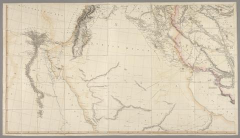
- 1 map on 4 sheets : hand col., mounted on linen ; 162 x 283 cm., on sheets 79 x 153 cm. and 79 x 138 cm., folded to 26 x 16 cm., in case 27 x 18 cm.
- Collection:
- Rare Books and Manuscripts

- Date:
- [1657]
- Physical Description:
- 1 atlas (252 pages in various pagings, [3] leaves of plates (2 folded)) : illustrations, maps, plans ; 51 cm (folio)
- Collection:
- Rare Books and Manuscripts

- Date:
- 1804
- Physical Description:
- 1 map on 4 sheets ; sheets 63 x 80 cm.
- Collection:
- Rare Books and Manuscripts