Search Constraints
You searched for:
Exhibition History The Mapmaker's Art: 300 Years of British Cartography (Yale Center for British Art, January 17, 1989-March 12, 1989)
Remove constraint Exhibition History: The Mapmaker's Art: 300 Years of British Cartography (Yale Center for British Art, January 17, 1989-March 12, 1989)Language English
Remove constraint Language: EnglishSearch Results
1
- The tapestry hangings of the House of Lords
- [1739]

2
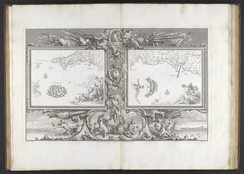
- The bounds of the fortificatie of Gosport
- approximately 1678

3
- A survey of the estate of John Plampin Esquire, taken in 1774,
- 1774

4
- Kyngeston vpon Hvll
- circa 1642

5
- Survey and valuation of the several estates belonging to John Kinchant Esqr. and Emma his wife
- 1765

6
- The true description or draffte of that famous Ile of Wighte
- 1591
7
- Art of surveying
- 1757?
8
- Description of Jarsey
- 1600
9
- Nautical chart of Grand Havre, Guernsey
- ca. 1680
10
- [Atlas of the counties of England and Wales]
- [1579]
11
- Suffolke described and divided into hundreds
- 1610
12
- To Captain John Wood this map of the world drawn according to Mercators projection humbly dedicated by Robt. Morden & Willm. Berry
- [approximately 1682?]
13
- A survey of the ports on the south west coast of England
- [1698]
14
- A compleat sett of mapps of England and Wales in general, and of each county in particular
- 1724
15
- Plans for the Citadel at Hull
- 1681-1682