Search Constraints
You searched for:
Image Use Free to Use
Remove constraint Image Use: Free to UseSubject Terms cartographic material
Remove constraint Subject Terms: cartographic materialSearch Results
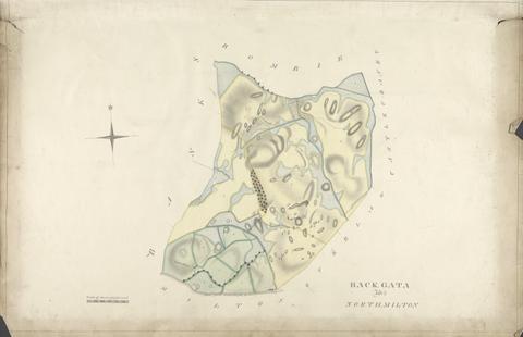
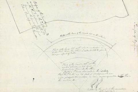
1
- Back, Gata and North, Milton
- undated
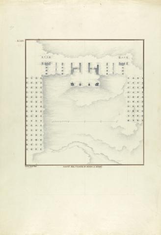
2
- Plan of the Temple of Artemis at Ephesus
- ca. 1750
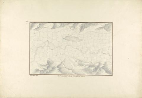
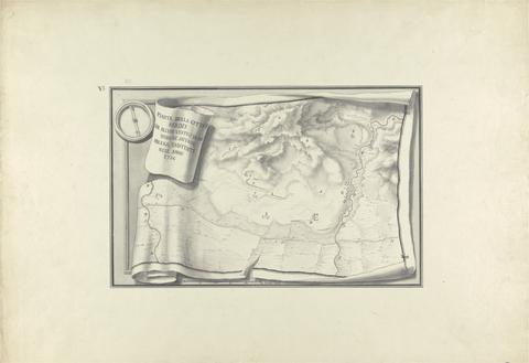
3
- Pianura dell'Hermo in Faccia a Sardes
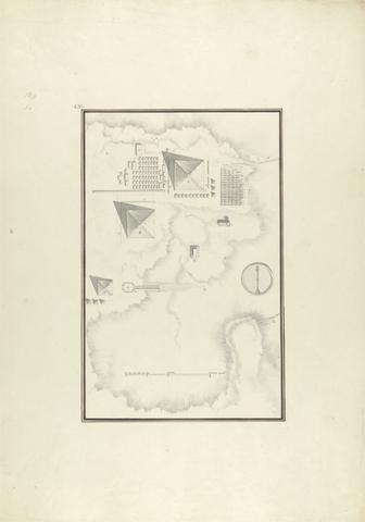
- ca. 1750
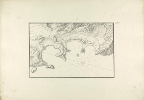
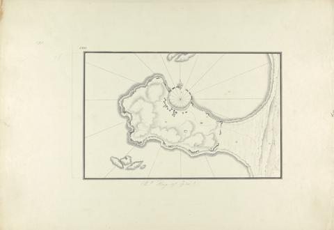
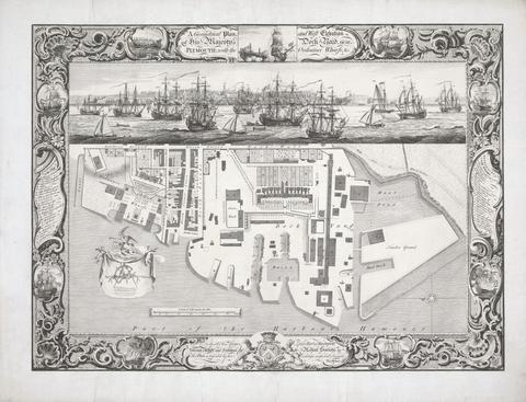
4
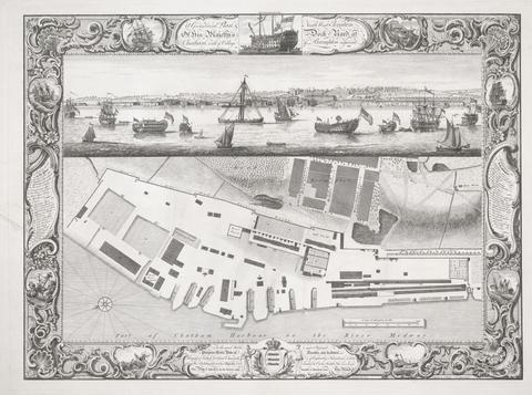
- Topographical Map of Halicarnassus at its Harbor
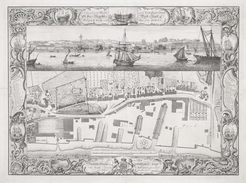
- ca. 1750
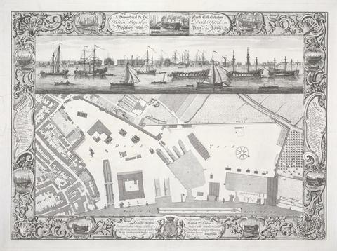
5
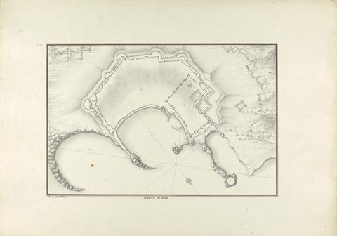
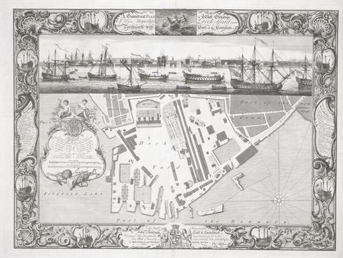
- Pianta di Rodi
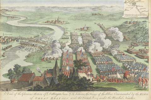
- ca. 1750
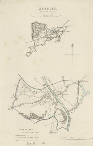
6
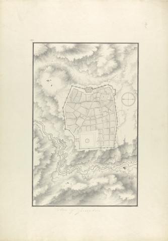
- Plan of Jerusalem
- ca. 1750
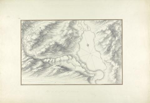
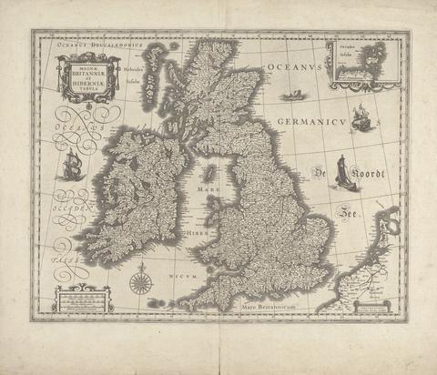
7
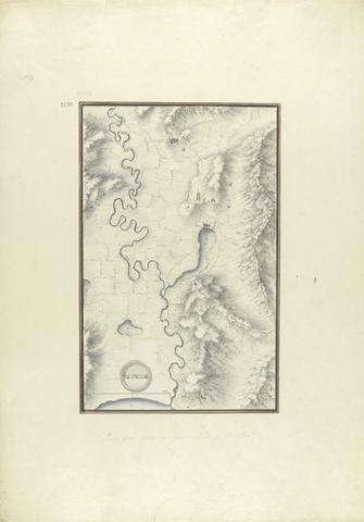
- Topographical Map of the Course of the Meander River (Ancient Maender River, Now Menderes River)
- ca. 1750
8
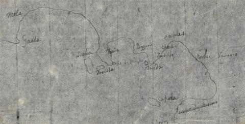
- Gulf of Naples Map
- undated
9
- Plan of the Ruins at Sardis with Vestiges of Ancient Buildings Still Existing in 1750
- ca. 1750
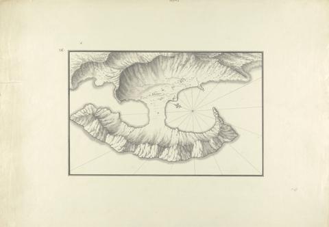
10
- Cnidus: Plan of the Harbor and Map of Sites
- ca. 1750
11
- Plan of the Bay of Tyre
- ca. 1750
12
- Plan of Lake Tiberias
- ca. 1750
13
- Topographical View of the Pyramids at Giza
- ca. 1750
14
- Geometrical Plan of his Majesty's Dockyard, near Plymouth
- 1756
15
- Geometrical Plan of his Majesty's Dockyard, at Chatham
- 1755
16
- Geometrical Plan of his Majesty's Dockyard, at Woolwich
- 1753
17
- Geometrical Plan of his Majesty's Dockyard, Deptford
- 1755
18
- Geometrical plan of his Majesty's Dockyard near Portsmouth
- 1754
19
- A View of the Glorious Action of Dettingen June 16/27 O.S.N.S between the Forces of tghe Allies Commanded by the King of Great Britain and the French Army under the Marshal Noailles
20
- Map of Bewdley from the Ordnance Survey
- undated

21
- Map of Worcestershire Showing Western and Eastern Divisions
- undated
22
- The Temple of Aphaia at Aegina: Fieldnotes with Moulding and Column Flute Profiles
- undated
23
- Magnae Britanniae et Hiberniae Tabula
- 1634