Search Constraints
You searched for:
Image Available Available
Remove constraint Image Available: AvailableSubject Terms Geography -- Study and teaching.
Remove constraint Subject Terms: Geography -- Study and teaching.Classification Maps & Atlases (manuscript)
Remove constraint Classification: Maps & Atlases (manuscript)Search Results

- Date:
- 1806
- Physical Description:
- 1 map : embroidery ; image 49.5 x 60 cm
- Collection:
- Rare Books and Manuscripts
- Credit Line:
- Yale Center for British Art, Gift of Mr. and Mrs. Kent Lydecker in honor of Helen B. Lydecker and Sandra Priest Rose.
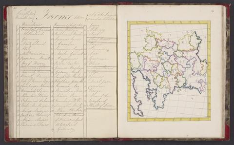
- Date:
- 1818
- Physical Description:
- 1 atlas : 25 maps ; 24 cm
- Collection:
- Rare Books and Manuscripts