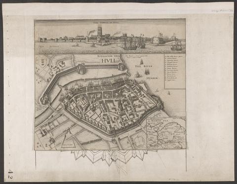
Search Constraints
You searched for:
Period 17th century
Remove constraint Period: 17th centuryExhibition History The Mapmaker's Art: 300 Years of British Cartography (Yale Center for British Art, January 17, 1989-March 12, 1989)
Remove constraint Exhibition History: The Mapmaker's Art: 300 Years of British Cartography (Yale Center for British Art, January 17, 1989-March 12, 1989)Image Use Free to Use
Remove constraint Image Use: Free to UseWidth [cm] Unknown
Remove constraint Width [cm]: UnknownSearch Results

- Date:
- circa 1642
- Physical Description:
- 1 view : illustrations ; 31 x 30 cm
- Collection:
- Rare Books and Manuscripts
![[Chart of the Thames estuary with a view of the English fleet burning in the Medway] [cartographic material].](https://media.collections.yale.edu/thumbnail/ycba/02ae63ff-cd23-4365-8ae6-55a7533753c2)
- Date:
- 1667
- Physical Description:
- 1 map ; 34 x 45 cm, on sheet 45 x 49 cm
- Collection:
- Rare Books and Manuscripts