Search Constraints
You searched for:
Period 17th century
Remove constraint Period: 17th centuryImage Available Available
Remove constraint Image Available: AvailableClassification Maps & Atlases (manuscript)
Remove constraint Classification: Maps & Atlases (manuscript)Search Results

- Date:
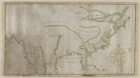
- not before 1634
- Physical Description:
- 1 map : pen and ink and watercolor, on parchment ; 21.9 x 42.8 cm, on sheet 23.5 x 45.8 cm
- Collection:
- Rare Books and Manuscripts

- Date:
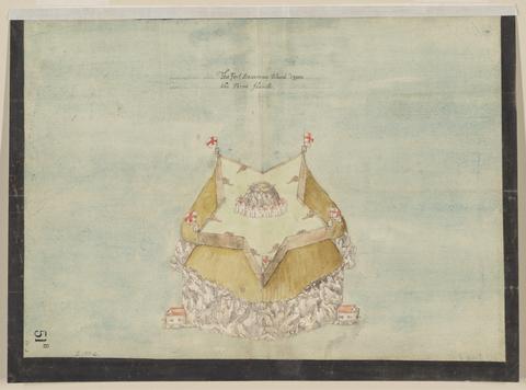
- circa 1600
- Physical Description:
- 1 map : pen and ink and watercolor ; sheet 31 x 41 cm
- Collection:
- Rare Books and Manuscripts

- Date:
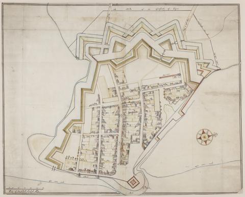
- ca. 1680
- Physical Description:
- 1 map : pen and ink and watercolor ; 67 x 94 cm
- Collection:
- Rare Books and Manuscripts

- Date:
- approximately 1678
- Physical Description:
- 1 map : pen-and-ink and watercolor ; 74 x 93 cm
- Collection:
- Rare Books and Manuscripts

- Date:
- 1681-1682
- Physical Description:
- 13 sheets : pen and ink and watercolor ; sheets 68 x 72 cm, or smaller
- Collection:
- Rare Books and Manuscripts