Search Constraints
You searched for:
Period 17th century
Remove constraint Period: 17th centuryImage Available Available
Remove constraint Image Available: AvailableLanguage English
Remove constraint Language: EnglishWork Type watercolor
Remove constraint Work Type: watercolorSearch Results
1
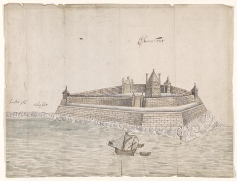
- Osbourne's Fort
- 1676

2
- Map of North America
- not before 1634
3
- A survey and description of the principal harbours
- 1698

4
- The bounds of the fortificatie of Gosport
- approximately 1678

5
- The Fort Devereux placed uppon the Ferne Islande
- circa 1600

6
- Plan of the town of Hull and its immediate surroundings
- ca. 1680

7
- Survey of Hertford Castle
- 1608

8
- Plans for the fortifications at Hull
- 1681-1682