Search Constraints
You searched for:
On-site Access Accessible by appointment in the Study Room
Remove constraint On-site Access: Accessible by appointment in the Study RoomDate 1677
Remove constraint Date: 1677Period 17th century
Remove constraint Period: 17th centuryClassification Maps & Atlas (printed)
Remove constraint Classification: Maps & Atlas (printed)Search Results

- Date:
- 1677]
- Physical Description:
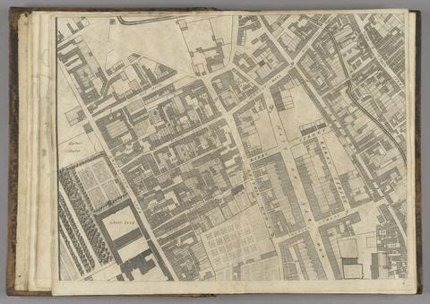
- 1 map : 160 x 255 cm. on 20 sheets 40 x 51 cm.
- Collection:
- Rare Books and Manuscripts

- Date:
- [ca. 1677]
- Physical Description:
- 1 map : engraving ; 42 x 52 cm
- Collection:
- Rare Books and Manuscripts

- Date:
- [between 1677 and 1679]
- Physical Description:
- 1 atlas ([4], 12, [2] pages, [79] leaves of plates) : 39 maps ; 46 cm (folio)
- Collection:
- Rare Books and Manuscripts