Search Constraints
You searched for:
Date 1841
Remove constraint Date: 1841Classification Maps & Atlas (printed)
Remove constraint Classification: Maps & Atlas (printed)Search Results

- Date:
- 1841
- Physical Description:
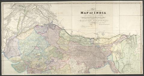
- 1 map : hand col., mounted on linen ; 158 x 151 cm., folded to 26 x 17 cm., in case 27 x 18 cm.
- Collection:
- Rare Books and Manuscripts

- Date:
- 1841
- Physical Description:
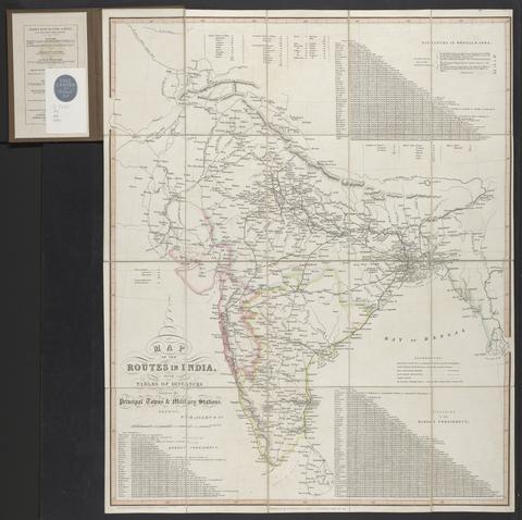
- 1 map : hand col., mounted on linen ; 77 x 65 cm., folded to 21 x 13 cm., in covers 22 x 15 cm.
- Collection:
- Rare Books and Manuscripts

- Date:
- 1841
- Physical Description:
- 1 map : engraving ; 79 x 92, on sheet 82 x 108, folded to 22 x 13 cm
- Collection:
- Rare Books and Manuscripts

- Date:
- [1841]
- Physical Description:
- 1 map : hand col., mounted on linen ; 61 x 109 cm., folded to 23 x 14 cm., in case 24 x 14 cm.
- Collection:
- Rare Books and Manuscripts