Search Constraints
You searched for:
Period 18th century
Remove constraint Period: 18th centuryGenre cartographic material
Remove constraint Genre: cartographic materialImage Available Available
Remove constraint Image Available: AvailableSubject Terms cartographic material
Remove constraint Subject Terms: cartographic materialSearch Results
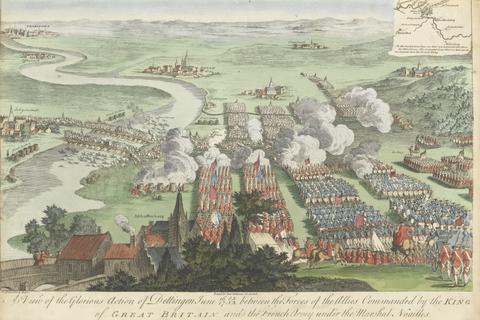
1
- A View of the Glorious Action of Dettingen June 16/27 O.S.N.S between the Forces of tghe Allies Commanded by the King of Great Britain and the French Army under the Marshal Noailles
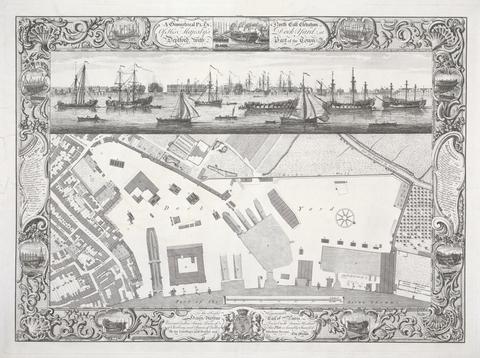
2
- Geometrical Plan of his Majesty's Dockyard, Deptford
- 1755
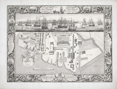
3
- Geometrical Plan of his Majesty's Dockyard, near Plymouth
- 1756
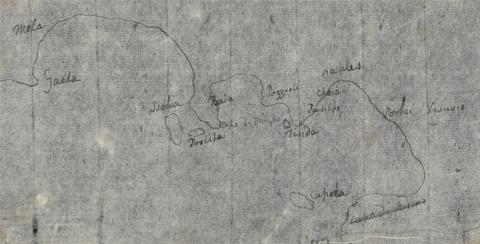
4
- Gulf of Naples Map
- undated