Search Constraints
You searched for:
Period 19th century
Remove constraint Period: 19th centuryImage Use Free to Use
Remove constraint Image Use: Free to UseSubject Terms China -- Description and travel.
Remove constraint Subject Terms: China -- Description and travel.Classification Maps & Atlas (printed)
Remove constraint Classification: Maps & Atlas (printed)Width [cm] Unknown
Remove constraint Width [cm]: UnknownSearch Results

- Date:
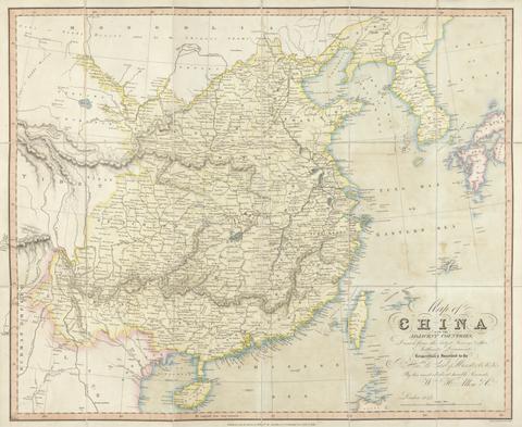
- 1842
- Physical Description:
- 1 map : hand col., mounted on linen ; 59 x 74 cm., folded to 19 x 10 cm., in covers 23 x 15 cm.
- Collection:
- Rare Books and Manuscripts