Search Constraints
You searched for:
Period 19th century
Remove constraint Period: 19th centurySubject Terms map
Remove constraint Subject Terms: mapSubject Terms cartographic material
Remove constraint Subject Terms: cartographic materialSearch Results
1
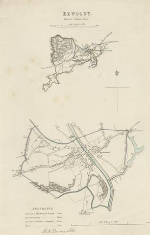
- Map of Bewdley from the Ordnance Survey
- undated

2
- Map of Worcestershire Showing Western and Eastern Divisions
- undated