Search Constraints
You searched for:
Associated Places England
Remove constraint Associated Places: EnglandSubject Terms map
Remove constraint Subject Terms: mapSubject Terms river
Remove constraint Subject Terms: riverSearch Results
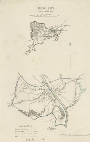
1
- Map of Bewdley from the Ordnance Survey
- undated
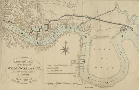
2
- Fairburn's Plan of the Proposed Wet-Docks and Cut, from New Gravel Lane to Blackwall
- 1796
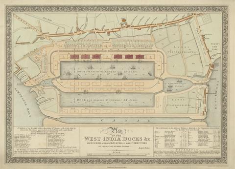
3
- Plan of the West India Docks
- 1802