Search Constraints
You searched for:
Associated Places Europe
Remove constraint Associated Places: EuropeSubject Terms cartographic material
Remove constraint Subject Terms: cartographic materialSubject Terms islands
Remove constraint Subject Terms: islandsSearch Results

1
- Map of Worcestershire Showing Western and Eastern Divisions
- undated
2
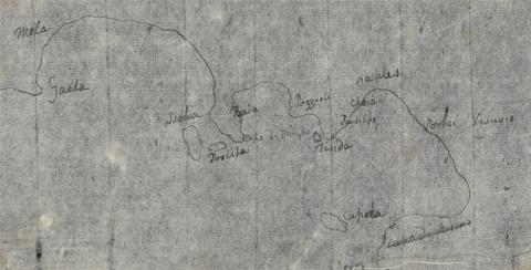
- Gulf of Naples Map
- undated