Search Constraints
You searched for:
Image Available Available
Remove constraint Image Available: AvailableImage Use Under Certain Circumstances
Remove constraint Image Use: Under Certain CircumstancesClassification Maps & Atlases (manuscript)
Remove constraint Classification: Maps & Atlases (manuscript)Search Results

1
- Plan of the town of Hull and its immediate surroundings
- ca. 1680
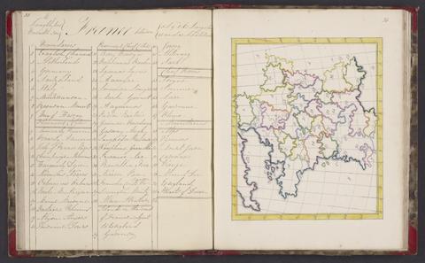
2
- A selection of maps
- 1818

3
- The bounds of the fortificatie of Gosport
- approximately 1678

4
- The Fort Devereux placed uppon the Ferne Islande
- circa 1600

5
- Plans for the fortifications at Hull
- 1681-1682