Search Constraints
You searched for:
Period 16th century
Remove constraint Period: 16th centuryImage Available Available
Remove constraint Image Available: AvailableClassification Maps & Atlas (printed)
Remove constraint Classification: Maps & Atlas (printed)Search Results

- Date:
- MDLXXVIII [1578]
- Physical Description:
- 1 map : engraving ; 40.5 x 53.5 cm, on sheet, 41.5 x 54.5 cm
- Collection:
- Rare Books and Manuscripts
![[Atlas of the counties of England and Wales].](https://media.collections.yale.edu/thumbnail/ycba/4ac23653-8668-40b0-b3f1-7228f7c1d7e3)
- Date:
- [1590?]
- Physical Description:
- 1 atlas ([74] leaves) : 34 maps (some folded) ; 44 cm
- Collection:
- Rare Books and Manuscripts

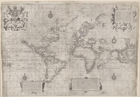
- Date:
- [1599?]
- Physical Description:
- 1 map ; 43 x 62 cm
- Collection:
- Rare Books and Manuscripts

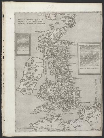
- Date:
- MDLVI [1556]
- Physical Description:
- 1 map ; 47.9 x 34.5 cm, on sheet 53.3 x 40.0 cm.
- Collection:
- Rare Books and Manuscripts
![The famouse West Indian voyadge made by the Englishe fleete of 23 shippes and barkes [cartographic material] : wherin weare gotten the townes of St . Iago, Sto. Domingo, Cartagena and St. Augustines : the same beinge begon from Plimmouth in the moneth of September 1585 and ended at Portesmouth in Iulie 1586 : the whole course of the saide viadge beinge plainlie described by the pricked line / newlie come forth by Baptista B.](https://media.collections.yale.edu/thumbnail/ycba/b67e0d67-e748-494a-ba84-e1105f721bb5)
- Date:
- [1589?]
- Physical Description:
- [5] sheets : maps (engravings)
- Collection:
- Rare Books and Manuscripts