Search Constraints
You searched for:
Associated Places Wales
Remove constraint Associated Places: WalesWork Type engraving
Remove constraint Work Type: engravingImage Use Free to Use
Remove constraint Image Use: Free to UseSearch Results
- Date:
- 1802
- Physical Description:
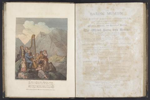
- xx, 112 p., [1] leaf of plates : ill. ; 34 cm.
- Collection:
- Rare Books and Manuscripts
![[Atlas of the counties of England and Wales].](https://media.collections.yale.edu/thumbnail/ycba/4ac23653-8668-40b0-b3f1-7228f7c1d7e3)
- Date:
- [1590?]
- Physical Description:
- 1 atlas ([74] leaves) : 34 maps (some folded) ; 44 cm
- Collection:
- Rare Books and Manuscripts
![[Old series Ordnance Survey maps of England and Wales]](https://media.collections.yale.edu/thumbnail/ycba/00e4c053-1da0-4b6a-9606-069ea90649fa)
- Date:
- 1805-1834 [i.e. 1834-1835?]
- Physical Description:
- 65 maps on 66 sheets : mounted on linen ; sheets 69 x 98 cm, or smaller + index.
- Collection:
- Rare Books and Manuscripts
- Date:
- [1786]
- Physical Description:
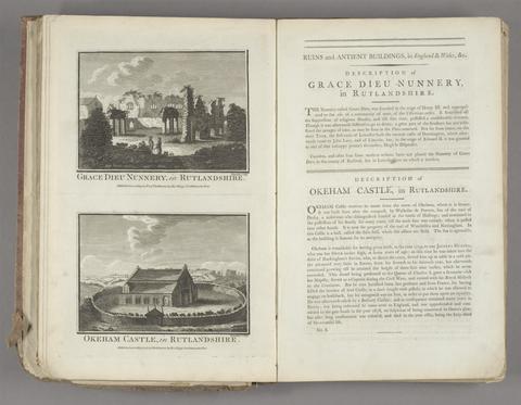
- 1 v. (various pagings) : ill. ; 40 cm.
- Collection:
- Rare Books and Manuscripts
- Credit Line:
- Yale Center for British Art, Gift of Elizabeth Langhorne