Search Constraints
You searched for:
Image Available Available
Remove constraint Image Available: AvailableWork Type watercolor
Remove constraint Work Type: watercolorClassification Maps & Atlases (manuscript)
Remove constraint Classification: Maps & Atlases (manuscript)Search Results

- Date:
- not before 1634
- Physical Description:
- 1 map : pen and ink and watercolor, on parchment ; 21.9 x 42.8 cm, on sheet 23.5 x 45.8 cm
- Collection:
- Rare Books and Manuscripts

- Date:
- approximately 1678
- Physical Description:
- 1 map : pen-and-ink and watercolor ; 74 x 93 cm
- Collection:
- Rare Books and Manuscripts
![Vera descriptio expeditionis nauticae Francisci Draci Angli, cognitis aurati qui quinq[ue] navibus probe instructis, ex occidentali Anglia parte anchoras soluens, tertio post decimo Decembris An[n]o MDLXXVII, terraru[m] orbis ambitum circumnavigans, unica tantu[m] navi reliqua (alijs fluctibus, alijs flamma correptis) redux factus, sexto supra vigesimo Sep. 1580.](https://media.collections.yale.edu/thumbnail/ycba/d584bc4d-2ae2-42ed-bb58-d257374dc419)
- Date:
- circa 1587
- Physical Description:
- 1 map : pen and ink and watercolor ; 21.9 x 43 cm, on sheet 23.5 x 46 cm
- Collection:
- Rare Books and Manuscripts
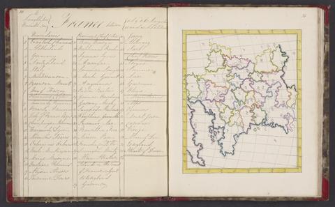
- Date:
- 1818
- Physical Description:
- 1 atlas : 25 maps ; 24 cm
- Collection:
- Rare Books and Manuscripts

- Date:
- 1774
- Physical Description:
- 1 v. (45, [3] p., with blanks) : ill., maps ; 24 cm.
- Collection:
- Rare Books and Manuscripts

- Date:
- 1721
- Physical Description:
- 1 map : pen and black and brown ink, with red, yellow, and blue-gray wash ; 78 x 132 cm.
- Collection:
- Rare Books and Manuscripts
- Credit Line:
- Yale Center for British Art, Gift of the Acorn Foundation, Inc., Alexander O. Vietor, Yale BA 1936, President, in honor of Paul Mellon

- Date:
- circa 1600
- Physical Description:
- 1 map : pen and ink and watercolor ; sheet 31 x 41 cm
- Collection:
- Rare Books and Manuscripts

- Date:
- 1777
- Physical Description:
- 1 volume : illustrations, maps ; 16 x 17 cm
- Collection:
- Rare Books and Manuscripts