Search Constraints
You searched for:
Language English
Remove constraint Language: EnglishSubject Terms Geography -- Study and teaching.
Remove constraint Subject Terms: Geography -- Study and teaching.Classification Maps & Atlases (manuscript)
Remove constraint Classification: Maps & Atlases (manuscript)Search Results

1
- The map of England and Wales with part of Scotland, France and Ireland, worked by Maria Harvey in the ninth year of age
- 1806
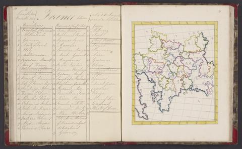
2
- A selection of maps
- 1818

3
- A general map of England & Wales, divided into its counties
- circa [1800?]
4
- Map of England and Wales
- circa [1800?]
5
- Manuscript atlas,
- 1878
6
- First course of maps
- approximately 1870
7
- The United Kingdom
- early 1840s?
8
- A map of England and Wales
- 1797