Search Constraints
You searched for:
Collection Prints and Drawings
Remove constraint Collection: Prints and DrawingsImage Use Under Certain Circumstances
Remove constraint Image Use: Under Certain CircumstancesSubject Terms marine art
Remove constraint Subject Terms: marine artSubject Terms ships
Remove constraint Subject Terms: shipsSearch Results
1
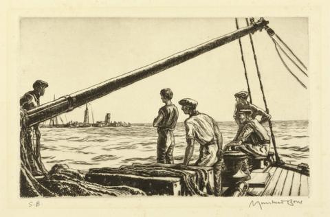
- Salvage Men, World War I
- 1919
![Mrs. P. D. H. Page Map of North America from Florida to Chesapeake Bay, after the original by John White in the British Museum [Sir Walter Raleigh's Virginia, No. 110]](https://media.collections.yale.edu/thumbnail/ycba/f14d2599-644f-40b2-8aee-01feeb08ac1a)
2
- Map of North America from Florida to Chesapeake Bay, after the original by John White in the British Museum [Sir Walter Raleigh's Virginia, No. 110]
- undated
![Mrs. P. D. H. Page Map of Raleigh's Virginia: The East Coast of North America from Cape Lookout to Chesapeake Bay, after original by John White in the British Museum [Sir Walter Raleigh's Virginia, No. 111 A]](https://media.collections.yale.edu/thumbnail/ycba/aa273bf1-4d54-4726-99f1-aa8836010023)
3
- Map of Raleigh's Virginia: The East Coast of North America from Cape Lookout to Chesapeake Bay, after original by John White in the British Museum [Sir Walter Raleigh's Virginia, No. 111 A]
- undated
4
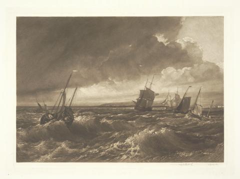
- The Mouth of the Thames, Isle of Sheppey in Distance
- 1891
5
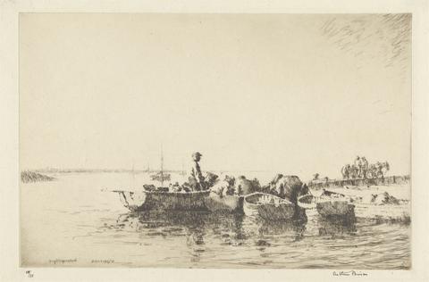
- Brightlingsea Hard, Landing Oysters
- 1929

6
- Sails, Hulls, and Boats
- undated
7
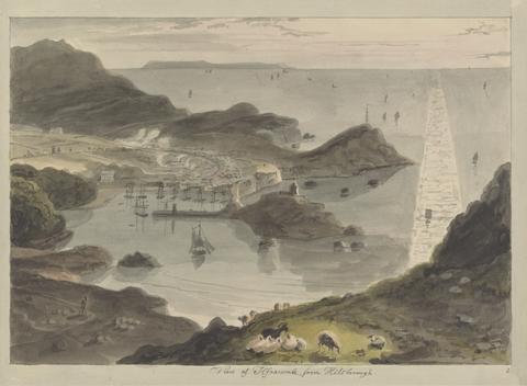
- View of Ilfracombe, from Hilsborough
- after 1814
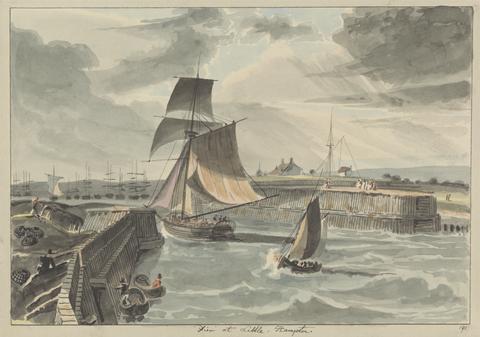
8
- Pier at Little, Hampton
- after 1814
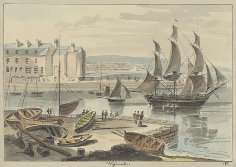
9
- Weymouth
- after 1814
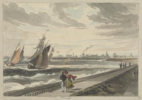
10
- Sherness
- after 1814

11
- Near Beechy-head
- after 1814
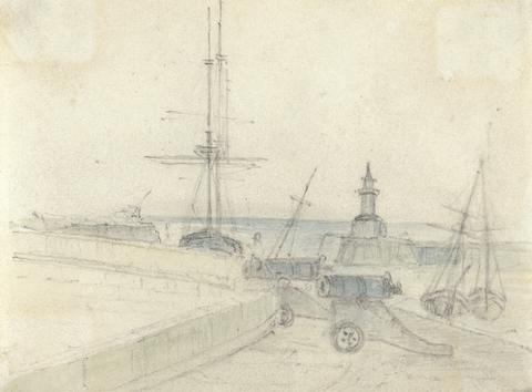
12
- Ships and Cannons
- undated
13
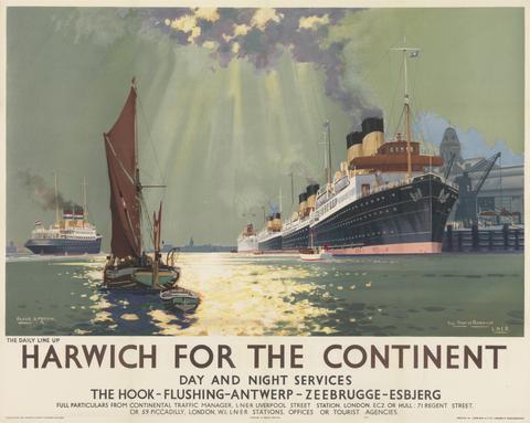
- Harwich for the Continent
- 1940
14
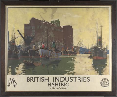
- British Industries| Fishing | LMS
- undated
15
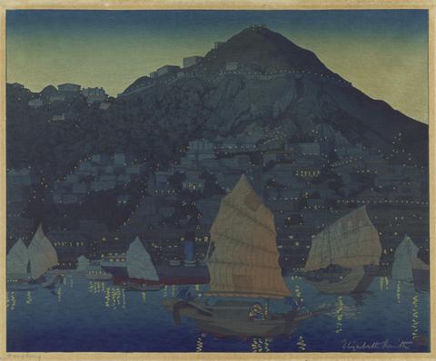
- Hong Kong, Harbor Night
- 1924

16
- A Mediterranean Port
- 1926
17
- Outward Bound
- 1927
18
- Donaldson Liner at Sea
- 1925
19
- Garelock
- undated
20
- Royal Naval College, Ships Models, Greenwich, London
- 1931