Search Constraints
You searched for:
Subject Terms cartographic material
Remove constraint Subject Terms: cartographic materialSubject Terms scale (rule)
Remove constraint Subject Terms: scale (rule)Search Results
1
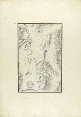
- Topographical Map of the Course of the Meander River (Ancient Maender River, Now Menderes River)
- ca. 1750
2
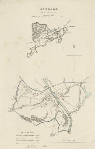
- Map of Bewdley from the Ordnance Survey
- undated

3
- Map of Worcestershire Showing Western and Eastern Divisions
- undated
4
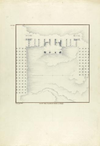
- Plan of the Temple of Artemis at Ephesus
- ca. 1750
5
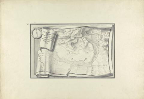
- Plan of the Ruins at Sardis with Vestiges of Ancient Buildings Still Existing in 1750
- ca. 1750
6
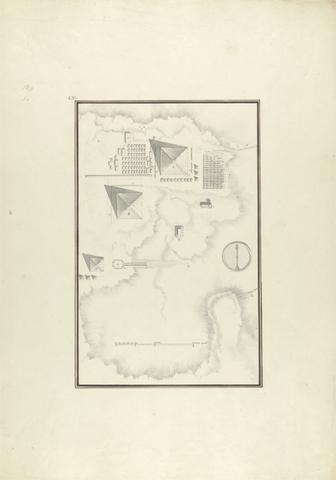
- Topographical View of the Pyramids at Giza
- ca. 1750