Search Constraints
You searched for:
On-site Access Accessible by appointment in the Study Room
Remove constraint On-site Access: Accessible by appointment in the Study RoomAssociated Places Scotland
Remove constraint Associated Places: ScotlandClassification Maps & Atlas (printed)
Remove constraint Classification: Maps & Atlas (printed)Search Results

- Date:
- MDLXXVIII [1578]
- Physical Description:
- 1 map : engraving ; 40.5 x 53.5 cm, on sheet, 41.5 x 54.5 cm
- Collection:
- Rare Books and Manuscripts

- Date:
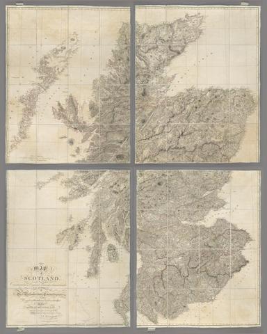
- [1807.]
- Physical Description:
- 1 map on 4 sheets : joined and laid on linen, copperplate engraving, hand colour ; 178 x 142 cm
- Collection:
- Rare Books and Manuscripts

- Date:
- 16th. April 1823
- Physical Description:
- 1 map : color ; 74 x 61 cm
- Collection:
- Rare Books and Manuscripts
4. Scotland.

- Date:
- [between 1901 and 1909?]
- Physical Description:
- 1 jigsaw puzzle (63 pieces) : paper on wood, hand colored ; map 37 x 30 cm, puzzle 43 x 35 cm, in box 26 x 21 x 5 cm
- Collection:
- Rare Books and Manuscripts
- Credit Line:
- Yale Center for British Art, Gift of Ellen and Arthur Liman, Yale JD 1957

- Date:
- 1856-1882
- Physical Description:
- 131 maps ; each 46 x 61 cm.
- Collection:
- Rare Books and Manuscripts

- Date:
- [1866?]
- Physical Description:
- 1 map ; 68 x 52 cm.
- Collection:
- Rare Books and Manuscripts