Search Constraints
You searched for:
Date 1841
Remove constraint Date: 1841Image Available Available
Remove constraint Image Available: AvailableLanguage English
Remove constraint Language: EnglishSearch Results

- Date:
- 1841
- Physical Description:
- 1 map : hand col., mounted on linen ; 158 x 151 cm., folded to 26 x 17 cm., in case 27 x 18 cm.
- Collection:
- Rare Books and Manuscripts
- Date:
- 1841
- Physical Description:
- 20, [2] p. (chiefly ill.) 29 cm.
- Collection:
- Rare Books and Manuscripts
- Date:
- [1841?]
- Physical Description:
- 1 print : hand-colored lithograph ; 26 x 14 cm
- Collection:
- Rare Books and Manuscripts
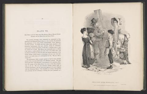
- Date:
- [1841-1844]
- Physical Description:
- 2 v. in 1. front., ill., plates. 28 cm.
- Collection:
- Rare Books and Manuscripts
- Date:
- 1841
- Physical Description:
- 67, 40 p., [9] leaves of plates : ill. ; 27 cm.
- Collection:
- Rare Books and Manuscripts
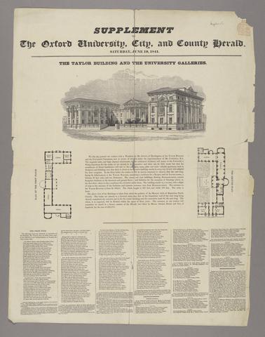
- Date:
- June 19th, 1841
- Physical Description:
- 1 sheet : illustration ; 62 x 47 cm
- Collection:
- Rare Books and Manuscripts
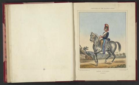
- Date:
- 1841
- Physical Description:
- [40] leaves of plates : col. ill. ; 39 cm.
- Collection:
- Rare Books and Manuscripts
- Date:
- 1841
- Physical Description:
- [4], 47, [1] p., 8 leaves of plates : ill. ; 33 cm.
- Collection:
- Rare Books and Manuscripts

- Date:
- 1841
- Physical Description:
- 1 map : hand col., mounted on linen ; 77 x 65 cm., folded to 21 x 13 cm., in covers 22 x 15 cm.
- Collection:
- Rare Books and Manuscripts