Search Constraints
You searched for:
Language English
Remove constraint Language: EnglishClassification Maps & Atlases (manuscript)
Remove constraint Classification: Maps & Atlases (manuscript)Search Results

1
- Map of North America
- not before 1634

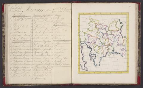
2
- The map of England and Wales with part of Scotland, France and Ireland, worked by Maria Harvey in the ninth year of age
- 1806

3
- The bounds of the fortificatie of Gosport
- approximately 1678

4
- The Fort Devereux placed uppon the Ferne Islande
- circa 1600

5
- Map of the southeastern part of North America
- 1721

6
- A survey of the estate of John Plampin Esquire, taken in 1774,
- 1774

7
- A survey of the estate of Richard Moore, Esq., Kentwell Hall, Suffolk
- 1777
8
- A selection of maps
- 1818

9
- Plans for fortification and harbor works at Dunkirk
- 1661-1662?
10
- Plan of the fortification at Sandown, Isle of Wight
- [1671?]
11
- Terrae Horaeanae in com. Wilts, Dorset, Somerset
- 1829-1844
12
- A general map of England & Wales, divided into its counties
- circa [1800?]
13
- Nautical chart of the east coast of Guernsey
- ca. 1680
14
- Plans of the fortifications at Newport and Cowes, Isle of Wight
- [1671?]
15
- The groundplott of Bouche de Vale on the N.W. side of Guarnsey
- 1690