Search Constraints
You searched for:
Genre cartographic material
Remove constraint Genre: cartographic materialImage Use Under Certain Circumstances
Remove constraint Image Use: Under Certain CircumstancesSearch Results
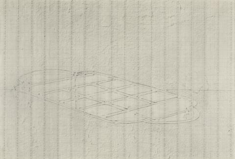
![Mrs. P. D. H. Page Map of North America from Florida to Chesapeake Bay, after the original by John White in the British Museum [Sir Walter Raleigh's Virginia, No. 110]](https://media.collections.yale.edu/thumbnail/ycba/f14d2599-644f-40b2-8aee-01feeb08ac1a)
1
- Map of North America from Florida to Chesapeake Bay, after the original by John White in the British Museum [Sir Walter Raleigh's Virginia, No. 110]
- undated
![Mrs. P. D. H. Page Coastal Profiles of Dominica and Santa Cruz, after the original by John White in the British Museum [Caribbean and Oceanic, No. 2]](https://media.collections.yale.edu/thumbnail/ycba/87265a76-e03b-41c1-8f1b-d4a20ba2b191)
2
- Coastal Profiles of Dominica and Santa Cruz, after the original by John White in the British Museum [Caribbean and Oceanic, No. 2]
- undated
3
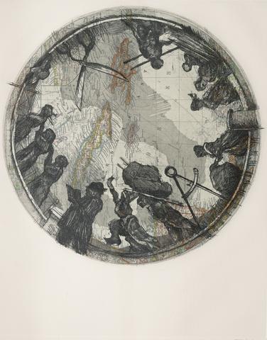
- Meteorite Lands on the Millennium Dome
- 1998
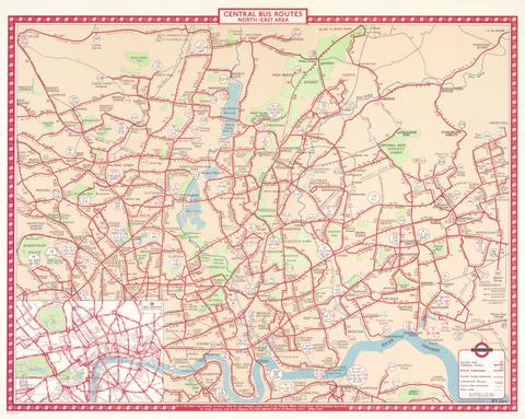
4
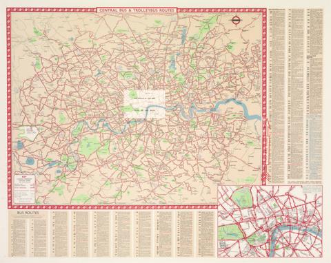
- Le Havre and Le Manche: A Map of Le Havre
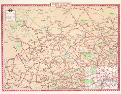
- undated
5
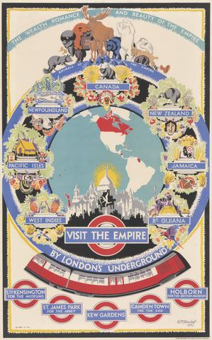
- Rochefort 1776
- 1776
6
- Toulon
- 1777
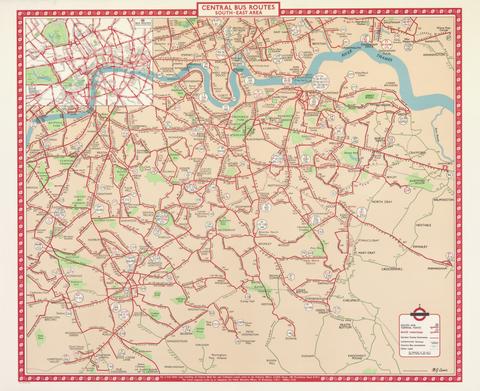
7
- Central Bus Routes South-East Area
- ca. 1955
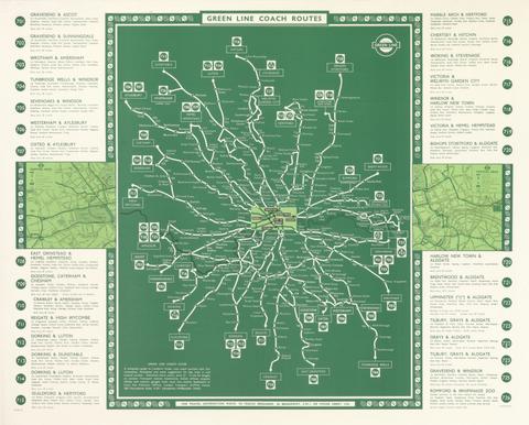
8
- Green Line Coach Routes
- ca. 1950s
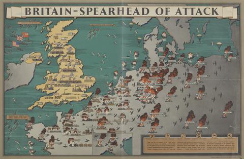
9
- Britain: Spearhead of Attack
- between 1939 and 1945
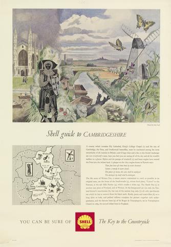
10
- Shell Guide to Cambridgeshire
- 1963

11
- Shell Guide to Norfolk
- undated
12
- Similands
- 2006
13
- Map of Nowhere
- 2008
14
- Shell Guide to Surrey
- ca. 1960
15
- Shell Guide to Midlothian
- undated
16
- Central Bus Routes North-East Area
- ca. 1955
17
- Central Bus and Trolleybus Routes
- ca. 1955
18
- Central Bus Routes North-West Area
- ca. 1955

19
- Central Bus Routes South-West Area
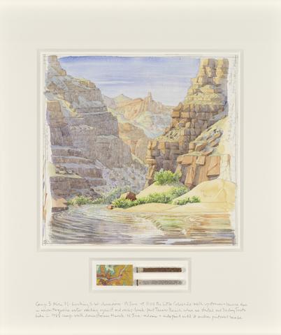
- ca. 1955
20
- Visit the Empire: Canada
- 1933
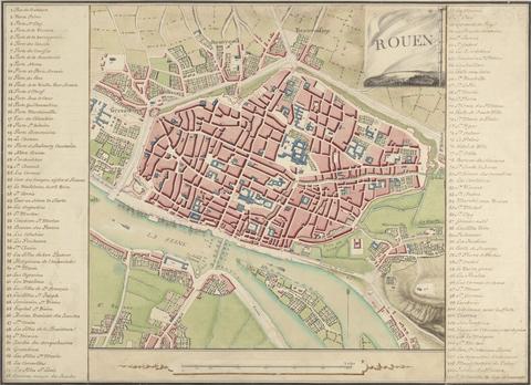
21
- Rouen: A Map of the City and Surrounding Areas
- undated
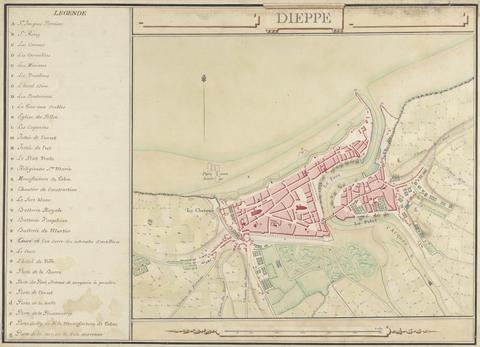
22
- Dieppe
- undated
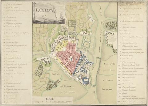
23
- L'Orient 1776: Map of the Port of Orient
- 1776
![Mrs. P. D. H. Page Map of Raleigh's Virginia: The East Coast of North America from Cape Lookout to Chesapeake Bay, after original by John White in the British Museum [Sir Walter Raleigh's Virginia, No. 111 A]](https://media.collections.yale.edu/thumbnail/ycba/aa273bf1-4d54-4726-99f1-aa8836010023)
24
- Map of Raleigh's Virginia: The East Coast of North America from Cape Lookout to Chesapeake Bay, after original by John White in the British Museum [Sir Walter Raleigh's Virginia, No. 111 A]
- undated
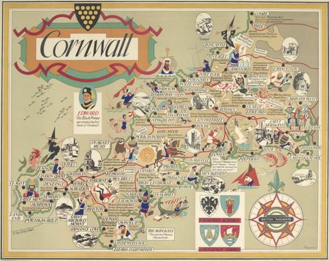
25
- Cornwall
- after 1948
26
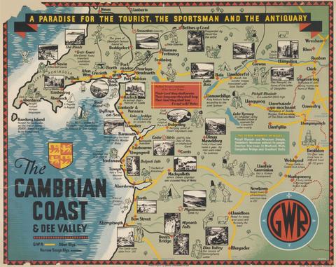
- The Cambrian Coast & Dee Valley
- ca. 1920
27
- Meteorite Lands on St Paul's Cathedral
- 1998
28
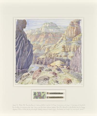
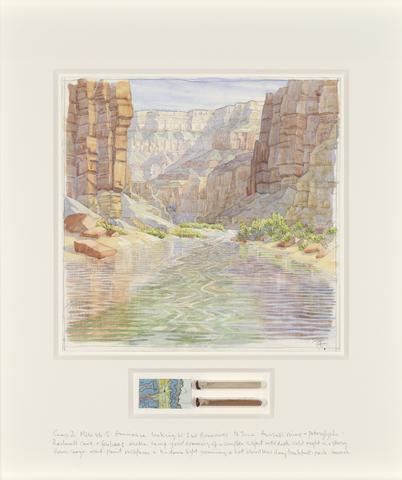
- Camp 4
- 2017
29
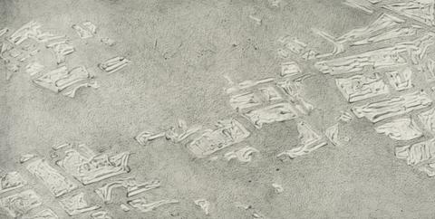
- Map of Ruin
- 2010
30
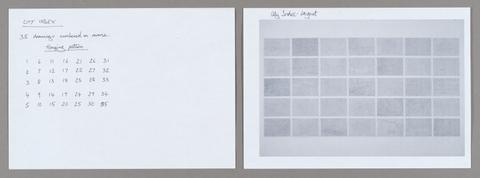
- City Index 35
- 2006
31
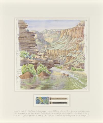
- Camp 1
- 2017
32
- Ordnance Survey
- 1995
33
- City Index
- 2006
34
- Study for ‘Atlas Procession'
- 2000
35
- City Index 5
- 2006
36
- City Index 1
- 2006
37
- City Index 2
- 2006
38
- City Index 3
- 2006
39
- City Index 7
- 2006
40
- City Index 9
- 2006

41
- City Index 8
- 2006

42
- City Index 6
- 2006
43
- City Index 10
- 2006

44
- City Index 4
- 2006

45
- City Index 11
- 2006

46
- City Index 13
- 2006

47
- City Index 16
- 2006

48
- City Index 14
- 2006

49
- City Index 17
- 2006
50
- City Index 18
- 2006

51
- City Index 21
- 2006
52
- City Index 15
- 2006
53
- City Index 20
- 2006

54
- City Index 23
- 2006

55
- City Index 24
- 2006
56
- City Index 25
- 2006

57
- City Index 32
- 2006
58
- City Index 34
- 2006

59
- Map of Remains
- 2010
60
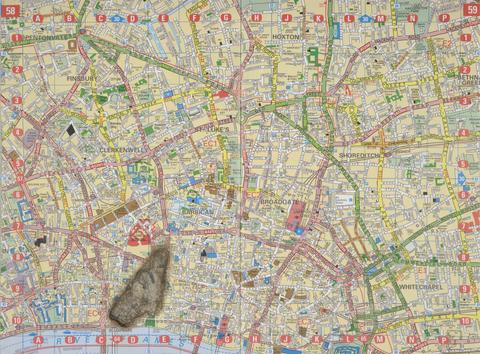
- Meteorite Lands on Wormwood Scrubs
- 1998
61
- Meteorite Lands the Houses of Parliament
- 1998
62
- Meteorite Lands on Buckingham Palace
- 1998
63
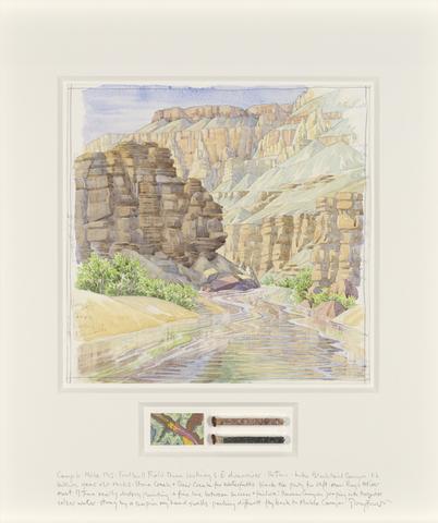
- Camp 2
- 2017
64
- Camp 5
- 2017
65
- Camp 6
- 2017
66
- Camp 3
- 2017

67
- City Index 12
- 2006
68
- City Index 22
- 2006
69
- City Index 26
- 2006
70
- City Index 27
- 2006
71
- City Index 19
- 2006

72
- City Index 30
- 2006
73
- City Index 28
- 2006
74
- City Index 33
- 2006
75
- City Index 29
- 2006

76
- City Index 31
- 2006

77
- 1658 Map showing Horsey Down
- undated
78
- The Colleges of Cambridge
- ca. 1955