Search Constraints
You searched for:
Language English
Remove constraint Language: EnglishImage Use Under Certain Circumstances
Remove constraint Image Use: Under Certain CircumstancesClassification Maps & Atlases (manuscript)
Remove constraint Classification: Maps & Atlases (manuscript)Search Results

- Date:
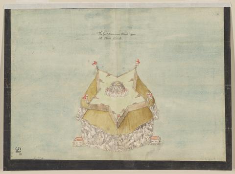
- circa 1600
- Physical Description:
- 1 map : pen and ink and watercolor ; sheet 31 x 41 cm
- Collection:
- Rare Books and Manuscripts

- Date:
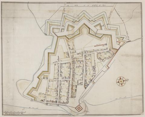
- approximately 1678
- Physical Description:
- 1 map : pen-and-ink and watercolor ; 74 x 93 cm
- Collection:
- Rare Books and Manuscripts

- Date:
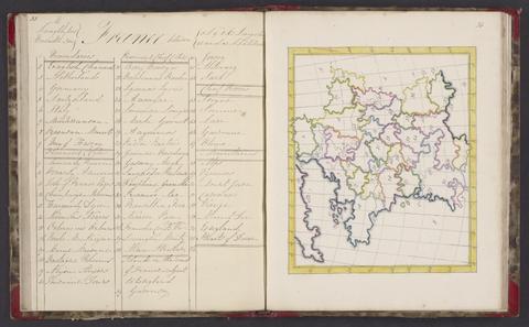
- 1818
- Physical Description:
- 1 atlas : 25 maps ; 24 cm
- Collection:
- Rare Books and Manuscripts

- Date:
- 1829-1844
- Physical Description:
- 1 volume : maps ; 40 cm
- Collection:
- Rare Books and Manuscripts

- Date:
- 1661-1662?
- Physical Description:
- 7 drawings : pen and ink and watercolor ; sheets 20 x 30 cm to 39 x 100 cm
- Collection:
- Rare Books and Manuscripts

- Date:
- ca. 1680
- Physical Description:
- 1 map : pen and ink ; sheet 102 x 72 cm
- Collection:
- Rare Books and Manuscripts

- Date:
- 1690
- Physical Description:
- 1 map : pen and ink and watercolor ; 43 x 111 cm
- Collection:
- Rare Books and Manuscripts

- Date:
- [1671?]
- Physical Description:
- 1 map : pen and ink and watercolor ; sheet 69 x 80 cm
- Collection:
- Rare Books and Manuscripts

- Date:
- circa [1800?]
- Physical Description:
- 1 map : silk embroidery on linen ; 49 x 46 cm
- Collection:
- Rare Books and Manuscripts

- Date:
- ca. 1680
- Physical Description:
- 1 map : pen and ink and gray wash ; sheet 45 x 57 cm
- Collection:
- Rare Books and Manuscripts

- Date:
- ca. 1680
- Physical Description:
- 1 map : pen and ink and watercolor ; 67 x 94 cm
- Collection:
- Rare Books and Manuscripts

- Date:
- 1878
- Physical Description:
- 1 atlas : 21 maps ; 21 cm.
- Collection:
- Rare Books and Manuscripts

- Date:
- [1671?]
- Physical Description:
- 1 map : pen and ink and watercolor ; sheet 64 x 75 cm
- Collection:
- Rare Books and Manuscripts

- Date:
- [1671?]
- Physical Description:
- 2 maps on 1 sheet : pen and ink and watercolor ; sheet 64 x 76 cm
- Collection:
- Rare Books and Manuscripts

- Date:
- December, 1671
- Physical Description:
- 1 map : pen and ink and watercolor ; sheet 76 x 120 cm
- Collection:
- Rare Books and Manuscripts