Search Constraints
You searched for:
Subject Period 18th century
Remove constraint Subject Period: 18th centuryClassification Maps & Atlas (printed)
Remove constraint Classification: Maps & Atlas (printed)Search Results

- Date:
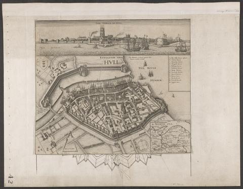
- circa 1642
- Physical Description:
- 1 view : illustrations ; 31 x 30 cm
- Collection:
- Rare Books and Manuscripts

- Date:
- 1740]
- Physical Description:
- 1 map on 4 sheets ; 240 x 186 cm., on sheets 66 x 55 cm.
- Collection:
- Rare Books and Manuscripts

- Date:
- 1756
- Physical Description:
- 1 map ; 66 x 45 cm., on sheet 75 x 55 cm.
- Collection:
- Rare Books and Manuscripts

- Date:
- 1756
- Physical Description:
- 1 map ; 54 x 46 cm., on sheet 75 x 55 cm.
- Collection:
- Rare Books and Manuscripts

- Date:
- 1757
- Physical Description:
- 2 maps on 1 sheet ; 38 x 47 cm. and 38 x 45 cm., on sheet 54 x 69 cm.
- Collection:
- Rare Books and Manuscripts

- Date:
- [1762?]
- Physical Description:
- 1 map on 4 sheets : hand colored ; 87 x 89 cm
- Collection:
- Rare Books and Manuscripts

- Date:
- [1776]
- Physical Description:
- 1 atlas ([3], vi-viii, [2] pages, [6] folded leaves of plates) : maps ; 23 cm
- Collection:
- Rare Books and Manuscripts

- Date:
- 1807
- Physical Description:
- 1 map on 2 sheets : hand col. ; 120 x 157 cm., sheets 65 x 164 cm. and 66 x 164 cm.
- Collection:
- Rare Books and Manuscripts
- Date:
- 1998
- Physical Description:
- 1 atlas (xiii, 77 p.) : ill., maps ; 30 cm
- Collection:
- Reference Library