Search Constraints
You searched for:
Collection Rare Books and Manuscripts
Remove constraint Collection: Rare Books and ManuscriptsClassification Maps & Atlas (printed)
Remove constraint Classification: Maps & Atlas (printed)Search Results
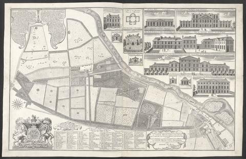
- Date:
- 1734
- Physical Description:
- 1 map : ill. ; 57 x 90 cm., on sheet 62 x 96 cm.
- Collection:
- Rare Books and Manuscripts
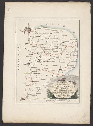
- Date:
- [between 1796 and 1809]
- Physical Description:
- 1 map : engraving ; 26 x 20 cm, on sheet 38 x 28 cm
- Collection:
- Rare Books and Manuscripts
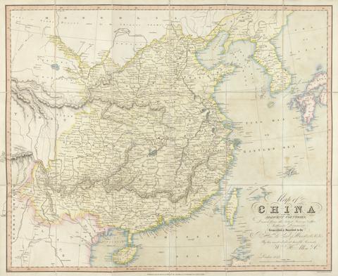
- Date:
- 1842
- Physical Description:
- 1 map : hand col., mounted on linen ; 59 x 74 cm., folded to 19 x 10 cm., in covers 23 x 15 cm.
- Collection:
- Rare Books and Manuscripts
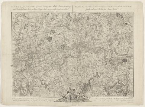
- Date:
- 1748
- Physical Description:
- 1 map ; 44 x 63 cm., on sheet 52 x 66 cm.
- Collection:
- Rare Books and Manuscripts
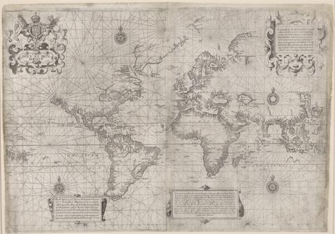
- Date:
- [1599?]
- Physical Description:
- 1 map ; 43 x 62 cm
- Collection:
- Rare Books and Manuscripts
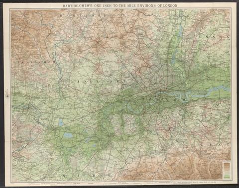
- Date:
- [not before 1921]
- Physical Description:
- 1 map : color, mounted on linen ; 70 x 91 cm, folded to 19 x 10 cm
- Collection:
- Rare Books and Manuscripts
![[Atlas of the counties of England and Wales].](https://media.collections.yale.edu/thumbnail/ycba/4ac23653-8668-40b0-b3f1-7228f7c1d7e3)
- Date:
- [1590?]
- Physical Description:
- 1 atlas ([74] leaves) : 34 maps (some folded) ; 44 cm
- Collection:
- Rare Books and Manuscripts
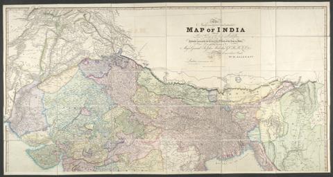
- Date:
- 1841
- Physical Description:
- 1 map : hand col., mounted on linen ; 158 x 151 cm., folded to 26 x 17 cm., in case 27 x 18 cm.
- Collection:
- Rare Books and Manuscripts
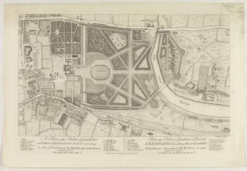
- Date:
- [1736?]
- Physical Description:
- 1 map ; 28 x 48 cm., on sheet 39 x 55 cm.
- Collection:
- Rare Books and Manuscripts
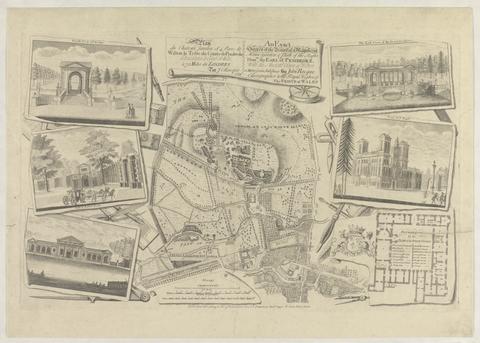
- Date:
- 1754
- Physical Description:
- 1 map : ill. ; 29 x 30 cm., on sheet 47 x 61 cm.
- Collection:
- Rare Books and Manuscripts
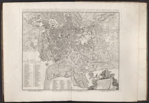
- Date:
- 1750
- Physical Description:
- 1 map ; 43 x 53 cm., on sheet 55 x 74 cm.
- Collection:
- Rare Books and Manuscripts
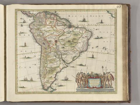
- Date:
- [between 1641 and 1680]
- Physical Description:
- 1 map ; 45 x 52 cm
- Collection:
- Rare Books and Manuscripts
![The famouse West Indian voyadge made by the Englishe fleete of 23 shippes and barkes [cartographic material] : wherin weare gotten the townes of St . Iago, Sto. Domingo, Cartagena and St. Augustines : the same beinge begon from Plimmouth in the moneth of September 1585 and ended at Portesmouth in Iulie 1586 : the whole course of the saide viadge beinge plainlie described by the pricked line / newlie come forth by Baptista B.](https://media.collections.yale.edu/thumbnail/ycba/b67e0d67-e748-494a-ba84-e1105f721bb5)
- Date:
- [1589?]
- Physical Description:
- [5] sheets : maps (engravings)
- Collection:
- Rare Books and Manuscripts
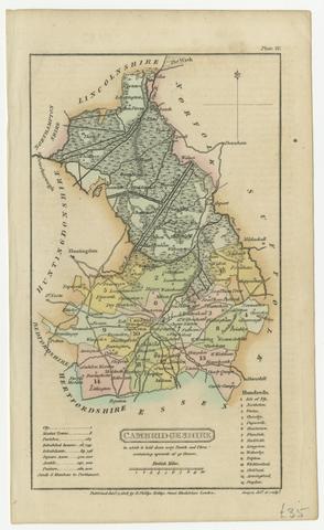
- Date:
- [1808]
- Physical Description:
- 1 map ; 18 x 11 cm, on sheet 21 x 13 cm
- Collection:
- Rare Books and Manuscripts
- Credit Line:
- Yale Center for British Art, Gift of David Alan Richards, Yale BA 1967, JD 1972
![Academiarum totius Europae seu orbis Christiani iuxta suas provincias nova tabula ad usum studiosorum emendate accomodate [cartographic material] / W. Kip sculp.](https://media.collections.yale.edu/thumbnail/ycba/73140180-2c50-4f87-81ba-d3ce924ad548)
- Date:
- An 1602
- Physical Description:
- 1 map ; 80 mm in diameter, on sheet 13 x 18 cm.
- Collection:
- Rare Books and Manuscripts