Search Constraints
You searched for:
Period 18th century
Remove constraint Period: 18th centuryWork Type map
Remove constraint Work Type: mapImage Use Free to Use
Remove constraint Image Use: Free to UseSearch Results

1
- The environs of London
- [1763]

2
- A map of London and the adjacent country 10 miles round
- 1748

3
- London and Westminster improved
- MDCCLXVU [1766]

4
- London and Westminster in the reign of Queen Elizabeth anno dom. 1563
- October 30th, 1789

5
- North America, and the West Indies
- [1764?]

6
- The route of the mail & post coaches, George Boulton & Co. proprietors
- [between 1796 and 1809]

7
- A plan of Rome
- 1750

8
- A survey of the estate of Richard Moore, Esq., Kentwell Hall, Suffolk
- 1777

9
- A voyage to the South Sea, and round the world, perform'd in the years 1708, 1709, 1710, and 1711, by the ships Duke and Dutchess of Bristol
- MDCCXII [1712]

10
- To Martin Folkes, esq., president of the Royal Society
- 1749

11
- The county of Dorset
- June 1st, 1795

12
- A survey of the estate of John Plampin Esquire, taken in 1774,
- 1774

13
- Map of the southeastern part of North America
- 1721

14
- A map of Hindoostan or the Mogul Empire
- 1788
15
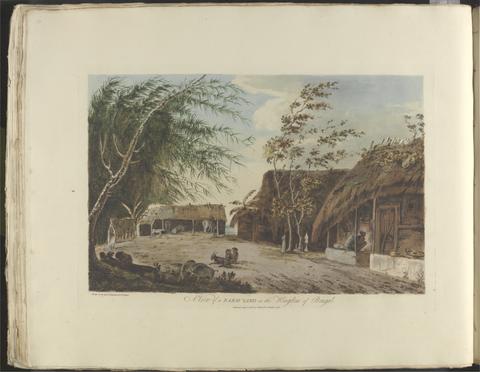
- Choix de vues de l'Inde
- [1788]