Search Constraints
You searched for:
Materials & Techniques graphite
Remove constraint Materials & Techniques: graphiteAssociated Places City of Westminster
Remove constraint Associated Places: City of WestminsterSearch Results
31
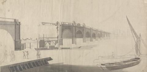
- Westminster Bridge under Construction
- undated
32
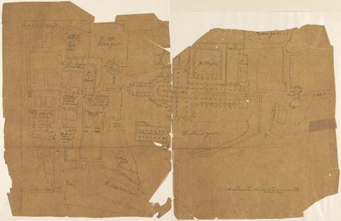
- Plan of Westminster Showing the Coronation Route of George II
- ca. 1727
33
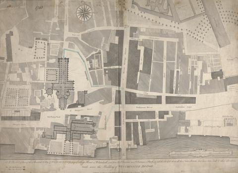
- A Plan of Part of the Ancient City of Westminster, from College Street to Whitehall, and from the Thames to St. James's Park, in which are laid down all the New Streets that have been built & other alterations made since the building of Westminster Bridge
- printed 1740, drawn ca. 1760
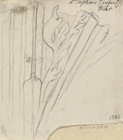
34
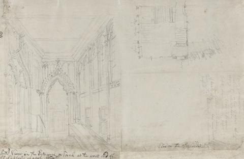
- South View in the Entrance of Porch at West End of St. Stephen's Chapel West
- between 1790 and 1802
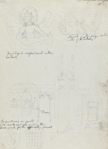
35
- Painting in Compartments under Windows, Shields in the Frieze under the Sills of Windows, and Compartments on South Side next East End, St Stephen's Chapel
- between 1790 and 1802
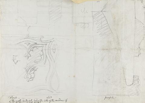
36
- Front and Profile of the Work under the Window Sills, St Stephen's Chapel
- between 1790 and 1802
37
- Capitals, St Stephen's Chapel
- between 1790 and 1802
38
- Springing of an Arch, St Stephen's Chapel
- between 1790 and 1802
39
- Impost and Base of Columns, St Stephen's Chapel
- between 1790 and 1802
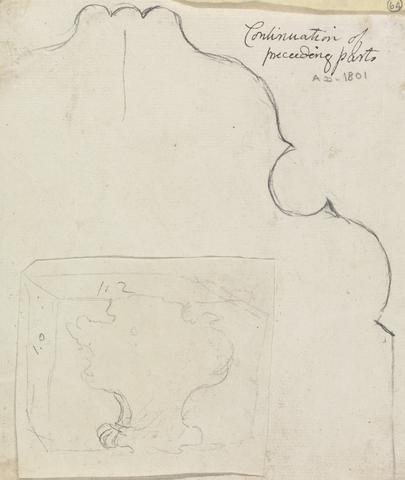
40
- Plan of Moldings, St Stephen's Chapel
- between 1790 and 1802
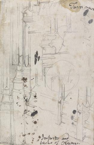
41
- Details of Imposts and Bases of Columns, St Stephen's Chapel
- between 1790 and 1802
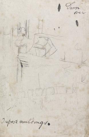
42
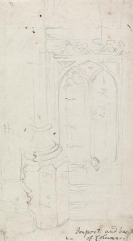
- Impost moldings, St Stephen's Chapel
- between 1790 and 1802
43
- Basso-relievos in the Center of the Groins of the Cloisters, St Stephen's Chapel
- ca. 1781
44
- Basso-relievos in the Center of the Groins of the Cloisters, St Stephen's Chapel
- ca. 1781
45
- Basso-relievos in the Center of the Groins of the Cloisters, St Stephen's Chapel
- ca. 1780