Search Constraints
You searched for:
Language English
Remove constraint Language: EnglishClassification Maps & Atlases (manuscript)
Remove constraint Classification: Maps & Atlases (manuscript)Search Results

- Date:
- ca. 1680
- Physical Description:
- 1 map : pen and ink and watercolor ; 67 x 94 cm
- Collection:
- Rare Books and Manuscripts
- Date:
- circa 1680
- Physical Description:
- 1 map : pen and ink and gray wash ; sheet 85 x 170 cm
- Collection:
- Rare Books and Manuscripts
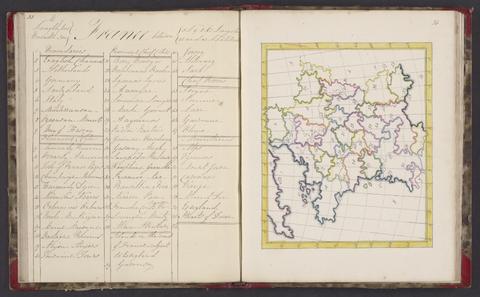
- Date:
- 1724
- Physical Description:
- 1 atlas ([58] leaves) : maps ; 17 x 20 cm
- Collection:
- Rare Books and Manuscripts
- Date:
- 1818
- Physical Description:
- 1 atlas : 25 maps ; 24 cm
- Collection:
- Rare Books and Manuscripts
- Date:
- 1690
- Physical Description:
- 1 map : pen and ink and watercolor ; 43 x 111 cm
- Collection:
- Rare Books and Manuscripts
- Date:
- 1681-1682
- Physical Description:
- 13 sheets : pen and ink and watercolor ; sheets 68 x 72 cm, or smaller
- Collection:
- Rare Books and Manuscripts

- Date:
- approximately 1678
- Physical Description:
- 1 map : pen-and-ink and watercolor ; 74 x 93 cm
- Collection:
- Rare Books and Manuscripts
- Date:
- 1661-1662?
- Physical Description:
- 7 drawings : pen and ink and watercolor ; sheets 20 x 30 cm to 39 x 100 cm
- Collection:
- Rare Books and Manuscripts
- Date:
- [1681?]
- Physical Description:
- 1 map : pen and ink and watercolor ; sheet 36 x 51 cm
- Collection:
- Rare Books and Manuscripts
- Date:
- [1698]
- Physical Description:
- 1 atlas (78 pages) : manuscript, 17 maps, pen and ink and watercolor ; 37 cm
- Collection:
- Rare Books and Manuscripts

- Date:
- 1721
- Physical Description:
- 1 map : pen and black and brown ink, with red, yellow, and blue-gray wash ; 78 x 132 cm.
- Collection:
- Rare Books and Manuscripts
- Credit Line:
- Yale Center for British Art, Gift of the Acorn Foundation, Inc., Alexander O. Vietor, Yale BA 1936, President, in honor of Paul Mellon

- Date:
- 1806
- Physical Description:
- 1 map : embroidery ; image 49.5 x 60 cm
- Collection:
- Rare Books and Manuscripts
- Credit Line:
- Yale Center for British Art, Gift of Mr. and Mrs. Kent Lydecker in honor of Helen B. Lydecker and Sandra Priest Rose.
- Date:
- 1829-1844
- Physical Description:
- 1 volume : maps ; 40 cm
- Collection:
- Rare Books and Manuscripts
- Date:
- 1777
- Physical Description:
- 1 volume (37 leaves) : maps ; 22 cm.
- Collection:
- Rare Books and Manuscripts
- Date:
- 1796
- Physical Description:
- 1 map : watercolor, pen and black ink ; sheet 55 x 41 cm
- Collection:
- Rare Books and Manuscripts