Search Constraints
You searched for:
Subject Terms Great Britain -- Defenses.
Remove constraint Subject Terms: Great Britain -- Defenses.Classification Maps & Atlases (manuscript)
Remove constraint Classification: Maps & Atlases (manuscript)Search Results

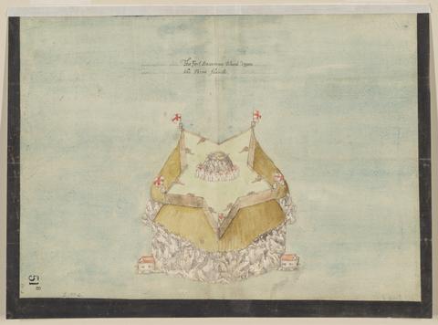
- Date:
- circa 1600
- Physical Description:
- 1 map : pen and ink and watercolor ; sheet 31 x 41 cm
- Collection:
- Rare Books and Manuscripts

- Date:
- approximately 1678
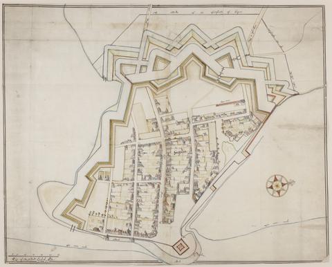
- Physical Description:
- 1 map : pen-and-ink and watercolor ; 74 x 93 cm
- Collection:
- Rare Books and Manuscripts

- Date:
- ca. 1680
- Physical Description:
- 1 map : pen and ink ; sheet 102 x 72 cm
- Collection:
- Rare Books and Manuscripts

- Date:
- 1690
- Physical Description:
- 1 map : pen and ink and watercolor ; 43 x 111 cm
- Collection:
- Rare Books and Manuscripts

- Date:
- [1671?]
- Physical Description:
- 1 map : pen and ink and watercolor ; sheet 64 x 75 cm
- Collection:
- Rare Books and Manuscripts

- Date:
- ca. 1680
- Physical Description:
- 1 map : pen and ink and gray wash ; sheet 45 x 57 cm
- Collection:
- Rare Books and Manuscripts

- Date:
- [1671?]
- Physical Description:
- 1 map : pen and ink and watercolor ; sheet 69 x 80 cm
- Collection:
- Rare Books and Manuscripts

- Date:
- December, 1671
- Physical Description:
- 1 map : pen and ink and watercolor ; sheet 76 x 120 cm
- Collection:
- Rare Books and Manuscripts

- Date:
- 1600
- Physical Description:
- 1 map : pen and ink and watercolor ; 42 x 58 cm, on sheet 44 x 59 cm
- Collection:
- Rare Books and Manuscripts

- Date:
- ca. 1680
- Physical Description:
- 1 map : pen and ink and watercolor ; 67 x 94 cm
- Collection:
- Rare Books and Manuscripts

- Date:
- [1671?]
- Physical Description:
- 2 maps on 1 sheet : pen and ink and watercolor ; sheet 64 x 76 cm
- Collection:
- Rare Books and Manuscripts

- Date:
- circa 1680
- Physical Description:
- 1 map : pen and ink and gray wash ; sheet 85 x 170 cm
- Collection:
- Rare Books and Manuscripts

- Date:
- circa 1600
- Physical Description:
- 1 map : pen and ink and watercolor ; sheet 31 x 41 cm
- Collection:
- Rare Books and Manuscripts

- Date:
- [1681?]
- Physical Description:
- 1 map : pen and ink and watercolor ; sheet 36 x 51 cm
- Collection:
- Rare Books and Manuscripts

- Date:
- 1681-1682
- Physical Description:
- 13 sheets : pen and ink and watercolor ; sheets 68 x 72 cm, or smaller
- Collection:
- Rare Books and Manuscripts

- Date:
- 1681-1682
- Physical Description:
- 2 maps : pen and ink and watercolor ; each sheet 39 x 42 cm
- Collection:
- Rare Books and Manuscripts

- Date:
- July 20, 1682
- Physical Description:
- 1 map : pen and ink and watercolor ; 32 x 25 cm, on sheet 38 x 36 cm
- Collection:
- Rare Books and Manuscripts