Search Constraints
You searched for:
Associated Places Wales
Remove constraint Associated Places: WalesWork Type engraving
Remove constraint Work Type: engravingSearch Results
1
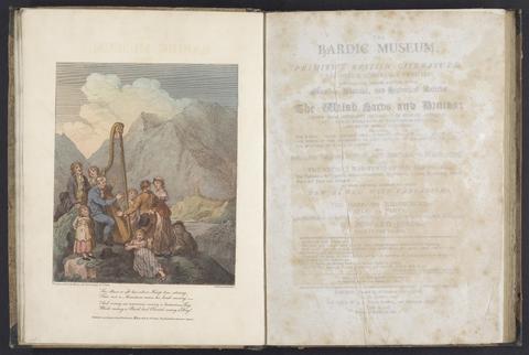
- The bardic museum
- 1802
![Saxton, Christopher, 1542?- [Atlas of the counties of England and Wales].](https://media.collections.yale.edu/thumbnail/ycba/4ac23653-8668-40b0-b3f1-7228f7c1d7e3)
2
- [Atlas of the counties of England and Wales]
- [1590?]
3
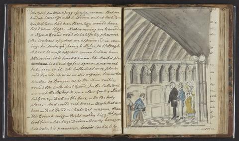
- A tour in North Wales
- 1817

4
- [The travellers guide
- [1686?]
![Great Britain. Ordnance Survey, cartographer, publisher. [Old series Ordnance Survey maps of England and Wales]](https://media.collections.yale.edu/thumbnail/ycba/00e4c053-1da0-4b6a-9606-069ea90649fa)
5
- [Old series Ordnance Survey maps of England and Wales]
- 1805-1834 [i.e. 1834-1835?]
6
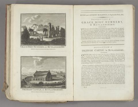
- Historical descriptions of new and elegant picturesque views of the antiquities of England and Wales
- [1786]

7
- England and Wales
- [1851?]
8
- [The 52 countries [sic] of England and Wales
9
- Atlas Anglicanus et Cambria, or, A book of mapps of all the countyes in the kingdom of England and dominion of Wales
- [1694?]
10
- Walker's tour through England and Wales
- January 2nd 1809
11
- An atlas, comprising maps of the several counties, divided into unions, and of the islands of Guernsey, Jersey, and Man
- 1842
12
- Introduction to the Original delineations, topographical, historical, and descriptive, intituled The beauties of England and Wales
- 1818
13
- [Old series Ordnance Survey maps of England and Wales]
- [1839-1874?]
14
- [Old series Ordnance Survey maps of England and Wales]
- Novr. 9th, 1843 [i.e. ca. 1853-1874?]
15
- Recollections of Bala and neighbourhood
- [184-?]