Search Constraints
You searched for:
Image Use Under Certain Circumstances
Remove constraint Image Use: Under Certain CircumstancesClassification Maps & Atlas (printed)
Remove constraint Classification: Maps & Atlas (printed)Search Results

- Date:
- 1767
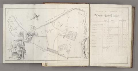
- Physical Description:
- 1 volume (122 leaves) : illustrations, maps ; 36 cm
- Collection:
- Rare Books and Manuscripts
![[The travellers guide : being the best mapp of the kingdom of England and principalaty [sic] of Wales. Wherein are delineated 3000 towns and villages more than in any mapp yet extent besides ye notations of bridges & rivers &c. To which is added ye direct and cross roads according to Mr. Ogilby's late survey. / Described by C: Saxton and now carefully corrected with new additions by Phillip Lea].](https://media.collections.yale.edu/thumbnail/ycba/906da49f-9f3d-41c8-9cb7-2f67ee863785)
- Date:
- [1686?]
- Physical Description:
- 1 atlas ([10] sheets) : hand colored maps ; sheets 28 x 69 cm, and smaller
- Collection:
- Rare Books and Manuscripts
![A survey of the man[o]r of Graney : situat'd in the county of Kildare, belonging to the Right Honble. James Earl of Kildare / by Jno. Rocque ...](https://media.collections.yale.edu/thumbnail/ycba/d0f1e1dd-676e-4bfb-aaea-0150fea62697)
- Physical Description:
- 1 atlas ([1], 14, [13] leaves, bound) : ms., 14 col. maps ; 54 x 75 cm.
- Collection:
- Rare Books and Manuscripts

- Date:
- [1649]
- Physical Description:
- 1 atlas ([470] pages) : illustrations, maps, plans ; 54 cm
- Collection:
- Rare Books and Manuscripts

- Date:
- 1633 [i.e. 1636]-1638
- Physical Description:
- 2 volumes (462 pages) : maps ; 47 cm
- Collection:
- Rare Books and Manuscripts
- Date:
- 2007
- Physical Description:
- 1 atlas (169 p.) : maps ; 35 cm.
- Collection:
- Reference Library

- Date:
- [approximately 1716?]
- Physical Description:
- 1 atlas ([2] pages, 95, 132 leaves of plates) : 227 maps ; 54 x 68 cm
- Collection:
- Rare Books and Manuscripts

- Date:
- [1662?]
- Physical Description:
- 1 map ; 36 x 44 cm.
- Collection:
- Rare Books and Manuscripts

- Date:
- [1851]
- Physical Description:
- 2 maps on 1 sheet : color ; maps 14.8 x 21.6 and 13.6 x 22 cm, on sheet 37 x 26 cm
- Collection:
- Rare Books and Manuscripts
- Credit Line:
- Yale Center for British Art, Gift of David Alan Richards, Yale BA 1967, JD 1972

- Date:
- [1575]
- Physical Description:
- 1 map : engraving ; 38 x 42 cm
- Collection:
- Rare Books and Manuscripts

- Date:
- 1831
- Physical Description:
- 1 map : hand col. ; 55 x 67 cm.
- Collection:
- Rare Books and Manuscripts
- Date:
- [1977?]
- Physical Description:
- col. map on sheet 102 x 78 cm.
- Collection:
- Reference Library

- Date:
- [between 1888 and 1898]
- Physical Description:
- 1 map : color ; 23 x 17 cm, on sheet 33 x 24 cm, folded in cover to 9 x 6 cm
- Collection:
- Rare Books and Manuscripts
- Credit Line:
- Yale Center for British Art, Gift of Michael Morris

- Date:
- 16th. April 1823
- Physical Description:
- 1 map : color ; 74 x 61 cm
- Collection:
- Rare Books and Manuscripts

- Date:
- [1839-1874?]
- Physical Description:
- 110 sheets : mounted on linen ; sheets 69 x 98 cm, or smaller + index.
- Collection:
- Rare Books and Manuscripts