Search Constraints
You searched for:
Period 18th century
Remove constraint Period: 18th centuryImage Use Free to Use
Remove constraint Image Use: Free to UseClassification Maps & Atlas (printed)
Remove constraint Classification: Maps & Atlas (printed)Search Results
![London and Westminster in the reign of Queen Elizabeth anno dom. 1563 [cartographic material] / Radulphus Aggus.](https://media.collections.yale.edu/thumbnail/ycba/693f90a8-80a4-4756-8dfb-b6fc214d8949)
- Date:
- October 30th, 1789
- Physical Description:
- 1 map ; 38 x 104 cm
- Collection:
- Rare Books and Manuscripts
- Credit Line:
- Yale Center for British Art, Paul Mellon Collection
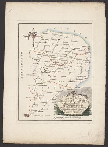
- Date:
- [between 1796 and 1809]
- Physical Description:
- 1 map : engraving ; 26 x 20 cm, on sheet 38 x 28 cm
- Collection:
- Rare Books and Manuscripts
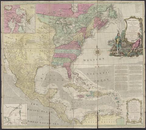
- Date:
- [1764?]
- Physical Description:
- 1 map : hand col., mounted on linen ; 103 x 116., folded to 20 x 14 cm., in case 20 x 14 cm.
- Collection:
- Rare Books and Manuscripts
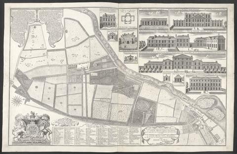
- Date:
- 1734
- Physical Description:
- 1 map : ill. ; 57 x 90 cm., on sheet 62 x 96 cm.
- Collection:
- Rare Books and Manuscripts
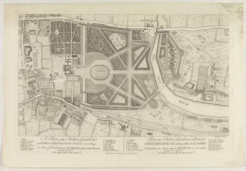
- Date:
- [1736?]
- Physical Description:
- 1 map ; 28 x 48 cm., on sheet 39 x 55 cm.
- Collection:
- Rare Books and Manuscripts
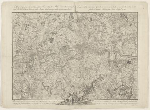
- Date:
- 1748
- Physical Description:
- 1 map ; 44 x 63 cm., on sheet 52 x 66 cm.
- Collection:
- Rare Books and Manuscripts
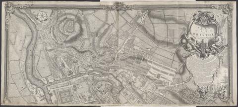
- Date:
- 1743
- Physical Description:
- 1 map on 2 sheets ; 100 x 228 cm., sheets 110 x 122 cm.
- Collection:
- Rare Books and Manuscripts
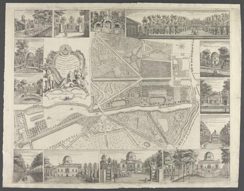
- Date:
- [17--]
- Physical Description:
- 1 map : ill. ; 42 x 66 cm., on sheet 66 x 84 cm.
- Collection:
- Rare Books and Manuscripts
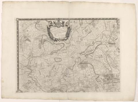
- Date:
- [1763]
- Physical Description:
- 1 map on 4 sheets ; 86 x 125 cm., sheets 58 x 79 cm.
- Collection:
- Rare Books and Manuscripts
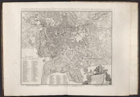
- Date:
- 1750
- Physical Description:
- 1 map ; 43 x 53 cm., on sheet 55 x 74 cm.
- Collection:
- Rare Books and Manuscripts
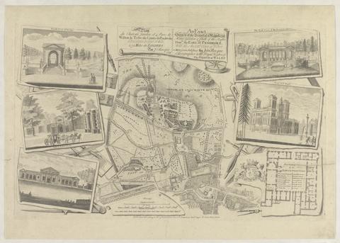
- Date:
- 1754
- Physical Description:
- 1 map : ill. ; 29 x 30 cm., on sheet 47 x 61 cm.
- Collection:
- Rare Books and Manuscripts

- Date:
- 1749
- Physical Description:
- 1 map ; 46 x 91 cm., on sheet 55 x 96 cm.
- Collection:
- Rare Books and Manuscripts
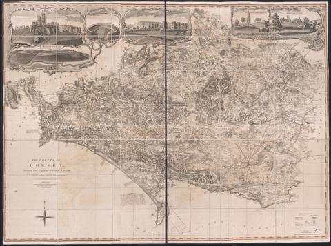
- Date:
- June 1st, 1795
- Physical Description:
- 1 map on 6 sheets : hand colored ; sheets 53 x 44 cm
- Collection:
- Rare Books and Manuscripts

- Date:
- MDCCIII [1703]
- Physical Description:
- 1 atlas ([2], 92 pages, [37] leaves of plates) : illustrations, maps ; 46 cm
- Collection:
- Rare Books and Manuscripts
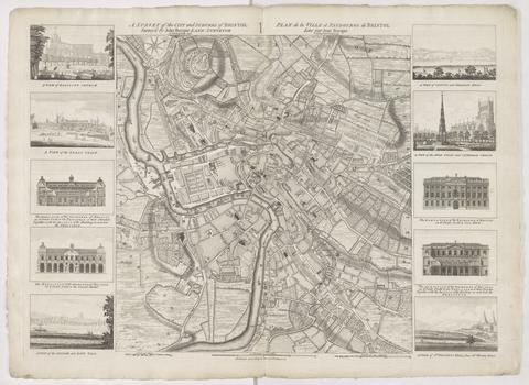
- Date:
- 1750
- Physical Description:
- 1 map ; 48 x 45 cm., on sheet 57 x 78 cm.
- Collection:
- Rare Books and Manuscripts
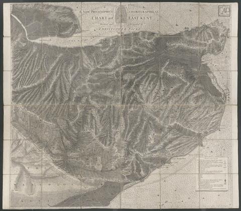
- Date:
- 1743
- Physical Description:
- 1 map : mounted on linen ; 122 x 140 cm., folded to 21 x 24 cm.
- Collection:
- Rare Books and Manuscripts
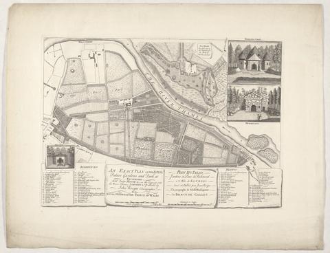
- Date:
- 1754
- Physical Description:
- 1 map : ill. ; 28 x 45 cm., on sheet 44 x 59 cm.
- Collection:
- Rare Books and Manuscripts
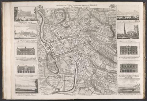
- Date:
- [175-?]
- Physical Description:
- 1 map : ill. ; 48 x 45 cm., on sheet 55 x 75 cm.
- Collection:
- Rare Books and Manuscripts
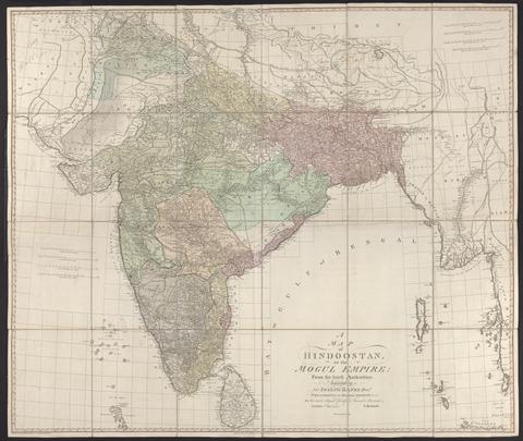
- Date:
- 1788
- Physical Description:
- 1 map : hand col., mounted on linen ; 105 x 124 cm., folded to 27 x 21 cm., in case 27 x 23 cm.
- Collection:
- Rare Books and Manuscripts