Search Constraints
You searched for:
Image Available Available
Remove constraint Image Available: AvailableWork Type engraving
Remove constraint Work Type: engravingClassification Maps & Atlas (printed)
Remove constraint Classification: Maps & Atlas (printed)Search Results
![[Atlas of the counties of England and Wales].](https://media.collections.yale.edu/thumbnail/ycba/4ac23653-8668-40b0-b3f1-7228f7c1d7e3)
- Date:
- [1590?]
- Physical Description:
- 1 atlas ([74] leaves) : 34 maps (some folded) ; 44 cm
- Collection:
- Rare Books and Manuscripts
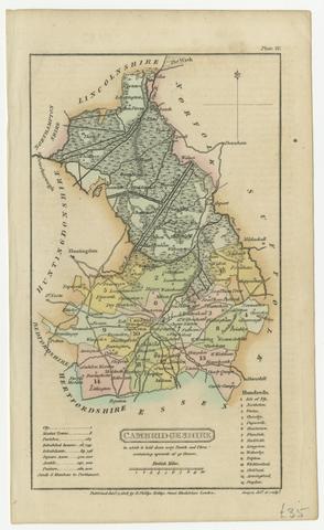
- Date:
- [1808]
- Physical Description:
- 1 map ; 18 x 11 cm, on sheet 21 x 13 cm
- Collection:
- Rare Books and Manuscripts
- Credit Line:
- Yale Center for British Art, Gift of David Alan Richards, Yale BA 1967, JD 1972
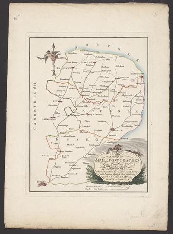
- Date:
- [between 1796 and 1809]
- Physical Description:
- 1 map : engraving ; 26 x 20 cm, on sheet 38 x 28 cm
- Collection:
- Rare Books and Manuscripts
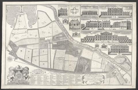
- Date:
- 1734
- Physical Description:
- 1 map : ill. ; 57 x 90 cm., on sheet 62 x 96 cm.
- Collection:
- Rare Books and Manuscripts
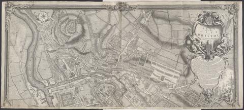
- Date:
- 1743
- Physical Description:
- 1 map on 2 sheets ; 100 x 228 cm., sheets 110 x 122 cm.
- Collection:
- Rare Books and Manuscripts
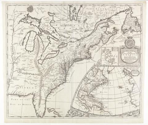
- Date:
- [ca. 1695]
- Physical Description:
- 1 map : engraving ; 51 x 60 cm
- Collection:
- Rare Books and Manuscripts
![[The travellers guide : being the best mapp of the kingdom of England and principalaty [sic] of Wales. Wherein are delineated 3000 towns and villages more than in any mapp yet extent besides ye notations of bridges & rivers &c. To which is added ye direct and cross roads according to Mr. Ogilby's late survey. / Described by C: Saxton and now carefully corrected with new additions by Phillip Lea].](https://media.collections.yale.edu/thumbnail/ycba/906da49f-9f3d-41c8-9cb7-2f67ee863785)
- Date:
- [1686?]
- Physical Description:
- 1 atlas ([10] sheets) : hand colored maps ; sheets 28 x 69 cm, and smaller
- Collection:
- Rare Books and Manuscripts

- Date:
- 1749
- Physical Description:
- 1 map ; 46 x 91 cm., on sheet 55 x 96 cm.
- Collection:
- Rare Books and Manuscripts
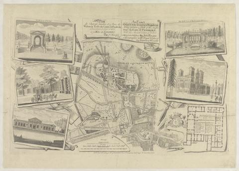
- Date:
- 1754
- Physical Description:
- 1 map : ill. ; 29 x 30 cm., on sheet 47 x 61 cm.
- Collection:
- Rare Books and Manuscripts
![[Old series Ordnance Survey maps of England and Wales]](https://media.collections.yale.edu/thumbnail/ycba/00e4c053-1da0-4b6a-9606-069ea90649fa)
- Date:
- 1805-1834 [i.e. 1834-1835?]
- Physical Description:
- 65 maps on 66 sheets : mounted on linen ; sheets 69 x 98 cm, or smaller + index.
- Collection:
- Rare Books and Manuscripts

- Date:
- MDLXXVIII [1578]
- Physical Description:
- 1 map : engraving ; 40.5 x 53.5 cm, on sheet, 41.5 x 54.5 cm
- Collection:
- Rare Books and Manuscripts
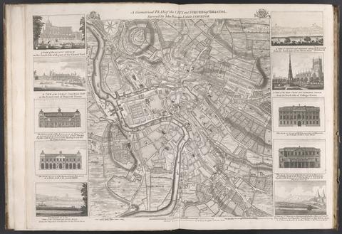
- Date:
- [175-?]
- Physical Description:
- 1 map : ill. ; 48 x 45 cm., on sheet 55 x 75 cm.
- Collection:
- Rare Books and Manuscripts
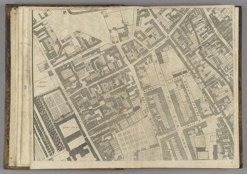
- Date:
- 1677]
- Physical Description:
- 1 map : 160 x 255 cm. on 20 sheets 40 x 51 cm.
- Collection:
- Rare Books and Manuscripts
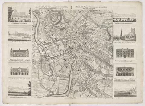
- Date:
- 1750
- Physical Description:
- 1 map ; 48 x 45 cm., on sheet 57 x 78 cm.
- Collection:
- Rare Books and Manuscripts
![Academiarum totius Europae seu orbis Christiani iuxta suas provincias nova tabula ad usum studiosorum emendate accomodate [cartographic material] / W. Kip sculp.](https://media.collections.yale.edu/thumbnail/ycba/73140180-2c50-4f87-81ba-d3ce924ad548)
- Date:
- An 1602
- Physical Description:
- 1 map ; 80 mm in diameter, on sheet 13 x 18 cm.
- Collection:
- Rare Books and Manuscripts
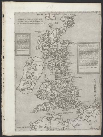
- Date:
- MDLVI [1556]
- Physical Description:
- 1 map ; 47.9 x 34.5 cm, on sheet 53.3 x 40.0 cm.
- Collection:
- Rare Books and Manuscripts
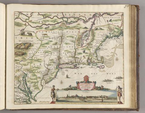
- Date:
- [ca. 1684]
- Physical Description:
- 1 map ; 46.1 x 55.9 cm, on sheet 52.4 x 62.9 cm
- Collection:
- Rare Books and Manuscripts
![[Chart of the Thames estuary with a view of the English fleet burning in the Medway] [cartographic material].](https://media.collections.yale.edu/thumbnail/ycba/02ae63ff-cd23-4365-8ae6-55a7533753c2)
- Date:
- 1667
- Physical Description:
- 1 map ; 34 x 45 cm, on sheet 45 x 49 cm
- Collection:
- Rare Books and Manuscripts