Search Constraints
You searched for:
Credit Line Yale Center for British Art, Paul Mellon Collection
Remove constraint Credit Line: Yale Center for British Art, Paul Mellon CollectionWork Type drawing
Remove constraint Work Type: drawingWork Type watercolor
Remove constraint Work Type: watercolorSubject Terms bay (body of water)
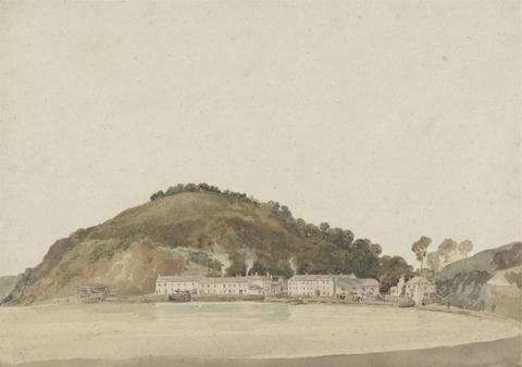
Remove constraint Subject Terms: bay (body of water)Search Results
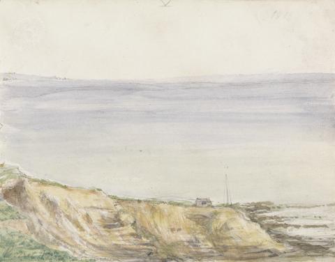
1
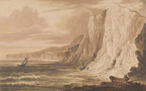
- View of Swanage Bay, Dorset
- 1816
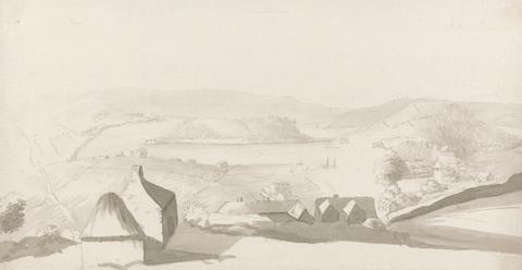
2
- A View of Carlisle Bay, Barbados, with Cottages
- ca. 1820
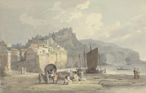
3
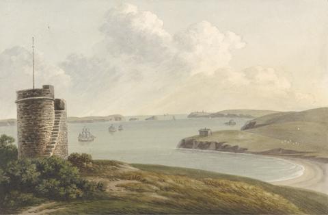
- Robin Hood's Bay, Yorkshire
- undated
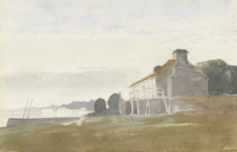
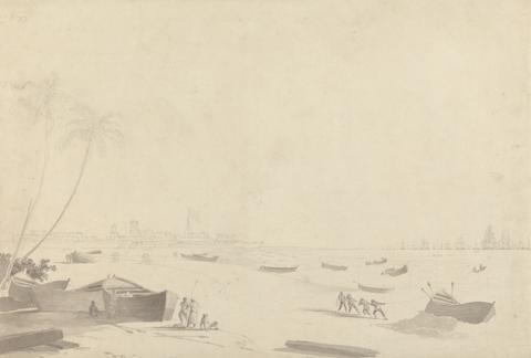
4
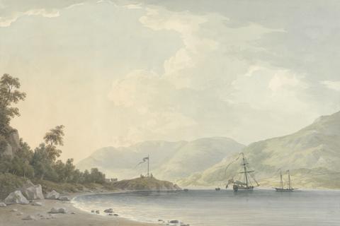
- Cottage on a Bay
- undated
5
- Culver Cliff, Sandown Bay, Isle of Wight
- undated
6
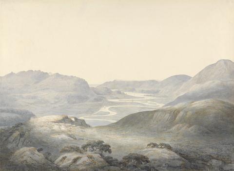
- Barmouth Bay, the Junction of the Rivers Mowddach and Gwinion
- 1805
7
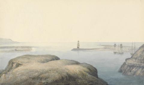
- Barmouth Bay
- undated
8
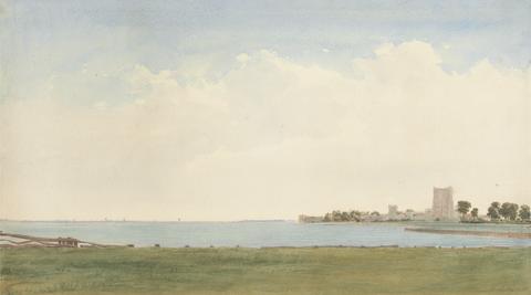
- Porchester Castle: A View from Porchester Village Looking across the Water to Portsmouth
- undated
9
- Headland on the Coast of South Devon, Possibly Shaldon
- undated
![Mrs. P. D. H. Page Map of Raleigh's Virginia: The East Coast of North America from Cape Lookout to Chesapeake Bay, after original by John White in the British Museum [Sir Walter Raleigh's Virginia, No. 111 A]](https://media.collections.yale.edu/thumbnail/ycba/aa273bf1-4d54-4726-99f1-aa8836010023)
10
- Map of Raleigh's Virginia: The East Coast of North America from Cape Lookout to Chesapeake Bay, after original by John White in the British Museum [Sir Walter Raleigh's Virginia, No. 111 A]
- undated
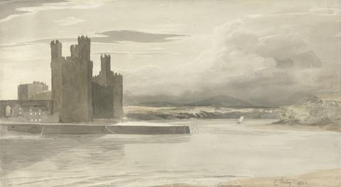
11
- Carnarvon
- 1802
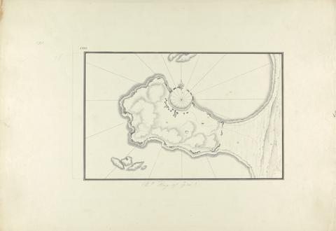
12
- Plan of the Bay of Tyre
- ca. 1750
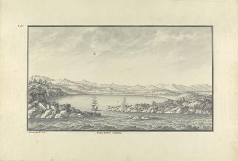
13
- View of Sigacik (Ancient Teos)
- ca. 1750
14
- View from the Vidette Near Hakin on Signal Hill, Looking Beyond Nangle Point and Thorn Island, Pembrokeshire
- 1764-1831
15
- Approach to Belle Grange Park
- 1789
16
- Madras
- ca. 1792
17
- Loch Scavaig, Isle of Skye
- ca. 1819
18
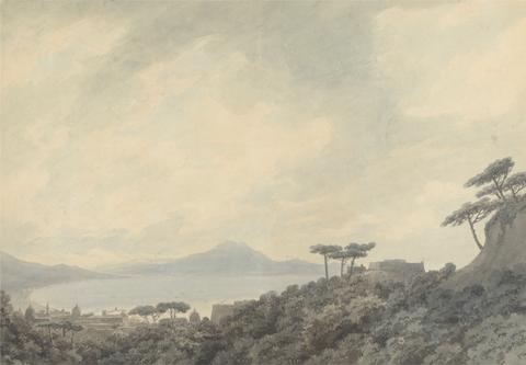
- The Bay of Naples from Capodimonte
- 1790

19
- The Northern Boundary of St. Bride's Bay
- 1792

20
- Bay Scene in Moonlight
- 1787
21
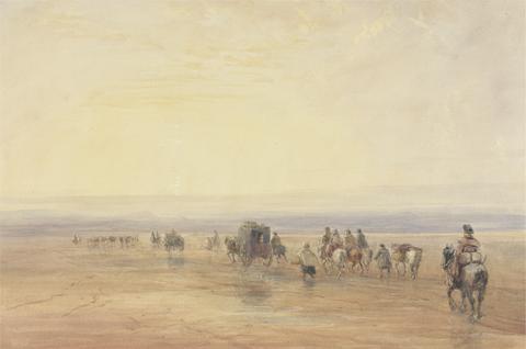
- Crossing Lancaster Sands
- mid-1830s

22
- Bay of Hieres (Hyeres)
- undated