Search Constraints
You searched for:
Collection Rare Books and Manuscripts
Remove constraint Collection: Rare Books and ManuscriptsPeriod 18th century
Remove constraint Period: 18th centuryExhibition History Wilde Americk - Discovery and Exploration of the New World, 1500-1850 (Yale Center for British Art, 2001-09-27 - 2001-09-27)
Remove constraint Exhibition History: Wilde Americk - Discovery and Exploration of the New World, 1500-1850 (Yale Center for British Art, 2001-09-27 - 2001-09-27)Search Results
1
- A voyage to the islands Madera, Barbados, Nieves, S. Christophers and Jamaica
- 1707-1725

2
- Map of the southeastern part of North America
- 1721
3
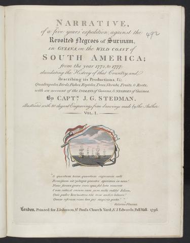
- Narrative, of a five years' expedition, against the revolted Negroes of Surinam, in Guiana, on the wild coast of South America, from the year 1772, to 1777
- 1796

4
- Atlas minor, sive, Geographia compendiosa, qua orbis terrarum, per paucas attamen novissimas tabulas ostenditur
- [approximately 1716?]
5
- America
- [after 1727]
6
- Recens edita totius Novi Belgii, in America Septentrionali siti
- [1730]
7
- A map of Pensilvania, New-Jersey, New-York, and the three Delaware counties
- 1749
8
- La galerie agreable du monde
- [1729?]
9
- Le nouveau & grand illuminant flambeau de la mer, de tout le monde
- 1736
10
- An historical account of the expedition against the Ohio Indians, in the year MDCCLXIV, under the command of Henry Bouquet, Esq., colonel of foot, and now brigadier general in America
- MDCCLXVI [1766]
11
- A voyage to the Pacific ocean
- 1784
12
- A new and compleat map of all America
- [1763]
13
- The natural and civil history of the French dominions in North and South America
- MDCCLX [1760]
14
- A compleat sett of mapps of England and Wales in general, and of each county in particular
- 1724
15
- A chart of North and South America
- 1753
16
- A map of the British and French dominions in North America
- Febry 13th, 1755