Search Constraints
You searched for:
Associated Places Wales
Remove constraint Associated Places: WalesWork Type engraving
Remove constraint Work Type: engravingImage Use Under Certain Circumstances
Remove constraint Image Use: Under Certain CircumstancesSearch Results
1
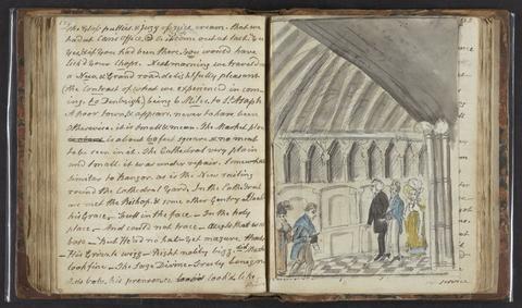
- A tour in North Wales
- 1817

2
- [The travellers guide
- [1686?]

3
- An atlas, comprising maps of the several counties, divided into unions, and of the islands of Guernsey, Jersey, and Man
- 1842
4
- T. Rhys
- [approximately 1870]
5
- Walker's tour through England and Wales
- January 2nd 1809
6
- England and Wales
- [1851?]
7
- England
- [1695?]
8
- [The 52 countries [sic] of England and Wales
9
- [Atlas of the counties of England and Wales]
- [1579]
10
- The Cambrian traveller's guide, in every direction
- 1813
11
- Atlas of the counties of England
- April 1st, 1834
12
- Introduction to the Original delineations, topographical, historical, and descriptive, intituled The beauties of England and Wales
- 1818
13
- Chorographia Britanniae, or, A set of maps of all the counties in England and Wales
- 1742
14
- A new and comprehensive gazetteer of England and Wales
- 1835-1836
15
- Atlas Anglicanus et Cambria, or, A book of mapps of all the countyes in the kingdom of England and dominion of Wales
- [1694?]
16
- Recollections of Bala and neighbourhood
- [184-?]
17
- [Old series Ordnance Survey maps of England and Wales]
- [1839-1874?]
18
- [Old series Ordnance Survey maps of England and Wales]
- Novr. 9th, 1843 [i.e. ca. 1853-1874?]
19
- Ordnance Survey of Ireland
- [1858-1862]
20
- A new and comprehensive gazetteer of England and Wales
- MDCCCXXXIII-MDCCCXXXIV [1833-1834]
21
- Angliae descpiptio [sic]
- [ca. 1602]