Search Constraints
You searched for:
Period 19th century
Remove constraint Period: 19th centuryAssociated Places London (England)
Remove constraint Associated Places: London (England)Subject Terms London (England) -- Maps.
Remove constraint Subject Terms: London (England) -- Maps.Search Results
1
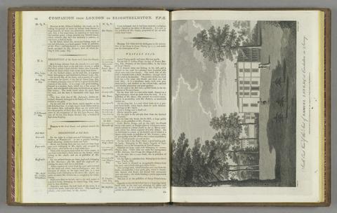
- A companion from London to Brighthelmston, in Sussex
- 1801

2
- Cruchley's New plan of London improved
- [1847]
3
- Gall & Inglis' pocket map of the suburbs of London
- [ca. 1897?]
4
- Survey of the country around London
- 1852
5
- A new pocket plan of the cities of London and Westminster
- 1812
6
- Cruchley's New plan of London
- [1834]
7
- A new map of metropolitan railways, tramways & miscellaneous improvements
- January 1st, 1874
8
- The "District Railway" miniature map of London
- [ca. 1887?]
9
- The city of London, in the time of the Saxons (about the year 1000)
- April 25th, 1817
10
- Survey of London made in the year 1745
- [between 1884 and 1887?]
11
- Whitbread's new plan of London
- 1851
12
- An entire new plan of the cities of London and Westminster
- 1812
13
- Stanford's library map of London and its suburbs
- 1862
14
- New map of central London divided into quarter mile squares
- ca. 1869]
15
- The A B C guide to London
- [1887?]
16
- The Thames Tunnel
- [1827?]
17
- Cary's New plan of London and its vicinity, 1838
- 1838?]
18
- Illustrated map of London, or, Guide to the public buildings, theatres, & all places of interest
- [1878?]
19
- A balloon view of London
- [1851]
20
- Black's plan of London
- [1871?]
21
- Map of London
- 1827
22
- Smith's new plan of London, Westminster & Southwark
- Jany. 1st. 1803
23
- Collins' Standard map of London
- 1874
24
- Black's map of Environs of London
- [1871?]
25
- Topographical survey of the Borough of St. Marylebone as incorporated & defined by Act of Parliament 1832
- 1834
26
- London and its environs, for 1831
- [1831?]
27
- Bauerkeller's New embossed map of London, 1841
- [1841]