Search Constraints
You searched for:
Associated Places Great Britain
Remove constraint Associated Places: Great BritainWork Type map
Remove constraint Work Type: mapSearch Results

- Date:
- MDXLVI [1546]
- Physical Description:
- 1 map on 2 sheets ; 51.8 x 72.2 cm, on sheet 56.2 x 76.3 cm.
- Collection:
- Rare Books and Manuscripts
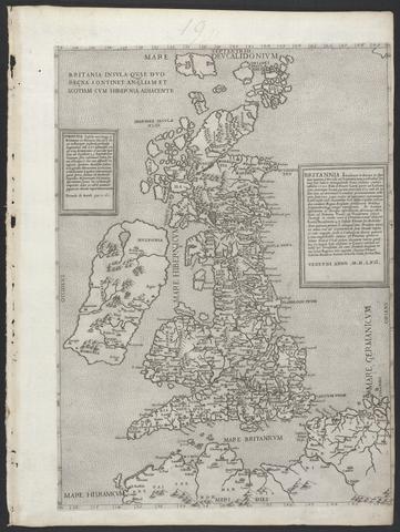
- Date:
- MDLVI [1556]
- Physical Description:
- 1 map ; 47.9 x 34.5 cm, on sheet 53.3 x 40.0 cm.
- Collection:
- Rare Books and Manuscripts

- Date:
- MDLVIII [1558]
- Physical Description:
- 1 map ; 38.2 x 52.3 cm, on sheet 42.8 x 55.6 cm.
- Collection:
- Rare Books and Manuscripts

- Date:
- anno MDLXII [1562]
- Physical Description:
- 1 map ; 47.0 x 34.2 cm, on sheet 53.2 x 40.0 cm.
- Collection:
- Rare Books and Manuscripts

- Date:
- [1588?]
- Physical Description:
- 1 map ; 40.1 x 54.2 cm., on sheet 41.8 x 56.1cm.
- Collection:
- Rare Books and Manuscripts
![The famouse West Indian voyadge made by the Englishe fleete of 23 shippes and barkes [cartographic material] : wherin weare gotten the townes of St . Iago, Sto. Domingo, Cartagena and St. Augustines : the same beinge begon from Plimmouth in the moneth of September 1585 and ended at Portesmouth in Iulie 1586 : the whole course of the saide viadge beinge plainlie described by the pricked line / newlie come forth by Baptista B.](https://media.collections.yale.edu/thumbnail/ycba/b67e0d67-e748-494a-ba84-e1105f721bb5)
- Date:
- [1589?]
- Physical Description:
- [5] sheets : maps (engravings)
- Collection:
- Rare Books and Manuscripts
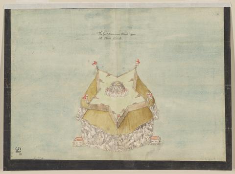
- Date:
- circa 1600
- Physical Description:
- 1 map : pen and ink and watercolor ; sheet 31 x 41 cm
- Collection:
- Rare Books and Manuscripts

- Date:
- 1600
- Physical Description:
- 1 map : pen and ink and watercolor ; 42 x 58 cm, on sheet 44 x 59 cm
- Collection:
- Rare Books and Manuscripts

- Date:
- circa 1600
- Physical Description:
- 1 map : pen and ink and watercolor ; sheet 31 x 41 cm
- Collection:
- Rare Books and Manuscripts
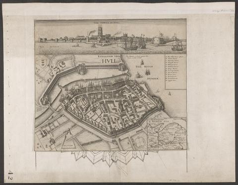
- Date:
- circa 1642
- Physical Description:
- 1 view : illustrations ; 31 x 30 cm
- Collection:
- Rare Books and Manuscripts

- Date:
- [1645]
- Physical Description:
- 1 map : engraving ; 40 x 30 cm, on sheet 50 x 60 cm
- Collection:
- Rare Books and Manuscripts
- Date:
- [1970]
- Physical Description:
- 16 p., 230 plates : 2 col. illus., coats of arms, maps. ; 54 cm
- Collection:
- Reference Library

- Date:
- 1661-1662?
- Physical Description:
- 7 drawings : pen and ink and watercolor ; sheets 20 x 30 cm to 39 x 100 cm
- Collection:
- Rare Books and Manuscripts

- Date:
- [1671?]
- Physical Description:
- 1 map : pen and ink and watercolor ; sheet 69 x 80 cm
- Collection:
- Rare Books and Manuscripts

- Date:
- [1671?]
- Physical Description:
- 2 maps on 1 sheet : pen and ink and watercolor ; sheet 64 x 76 cm
- Collection:
- Rare Books and Manuscripts

- Date:
- [1671?]
- Physical Description:
- 1 map : pen and ink and watercolor ; sheet 64 x 75 cm
- Collection:
- Rare Books and Manuscripts

- Date:
- December, 1671
- Physical Description:
- 1 map : pen and ink and watercolor ; sheet 76 x 120 cm
- Collection:
- Rare Books and Manuscripts
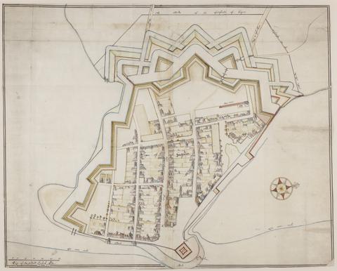
- Date:
- approximately 1678
- Physical Description:
- 1 map : pen-and-ink and watercolor ; 74 x 93 cm
- Collection:
- Rare Books and Manuscripts

- Date:
- [1678]
- Physical Description:
- 1 map : engraving ; 50 x 57 cm, on sheet 54 x 63 cm
- Collection:
- Rare Books and Manuscripts

- Date:
- ca. 1680
- Physical Description:
- 1 map : pen and ink and watercolor ; 67 x 94 cm
- Collection:
- Rare Books and Manuscripts

- Date:
- ca. 1680
- Physical Description:
- 1 map : pen and ink and gray wash ; sheet 45 x 57 cm
- Collection:
- Rare Books and Manuscripts

- Date:
- circa 1680
- Physical Description:
- 1 map : pen and ink and gray wash ; sheet 85 x 170 cm
- Collection:
- Rare Books and Manuscripts

- Date:
- ca. 1680
- Physical Description:
- 1 map : pen and ink ; sheet 102 x 72 cm
- Collection:
- Rare Books and Manuscripts

- Date:
- 1681-1682
- Physical Description:
- 2 maps : pen and ink and watercolor ; each sheet 39 x 42 cm
- Collection:
- Rare Books and Manuscripts

- Date:
- [1681?]
- Physical Description:
- 1 map : pen and ink and watercolor ; sheet 36 x 51 cm
- Collection:
- Rare Books and Manuscripts

- Date:
- 1681-1682
- Physical Description:
- 13 sheets : pen and ink and watercolor ; sheets 68 x 72 cm, or smaller
- Collection:
- Rare Books and Manuscripts

- Date:
- July 20, 1682
- Physical Description:
- 1 map : pen and ink and watercolor ; 32 x 25 cm, on sheet 38 x 36 cm
- Collection:
- Rare Books and Manuscripts

- Date:
- 1690
- Physical Description:
- 1 map : pen and ink and watercolor ; 43 x 111 cm
- Collection:
- Rare Books and Manuscripts

- Date:
- [approximately 1695]
- Physical Description:
- 1 map : engraving, hand colored ; 46 x 56 cm, on sheet 51 x 61 cm
- Collection:
- Rare Books and Manuscripts

- Date:
- [approximately 1705]
- Physical Description:
- 1 map : engraving, hand-colored ; 46 x 58 cm, on sheet 54 x 65 cm
- Collection:
- Rare Books and Manuscripts

- Date:
- 1724
- Physical Description:
- 1 atlas ([58] leaves) : maps ; 17 x 20 cm
- Collection:
- Rare Books and Manuscripts

- Date:
- 1759
- Physical Description:
- 510 pages : illustrations, diagrams, maps ; 30 cm
- Collection:
- Rare Books and Manuscripts

- Date:
- MDCCLXXXIV [1784]
- Physical Description:
- 24 pages, [21] folded leaves of plates : illustrations, plans ; 21 cm
- Collection:
- Rare Books and Manuscripts
![A plan of mathematical learning taught in the Royal Academy, Portsmouth : performed by a student there 177[blank].](https://media.collections.yale.edu/thumbnail/ycba/c0aa2982-81d7-4478-bddd-d57c5423beee)
- Date:
- approximately 1798-1799
- Physical Description:
- 518 pages : illustrations, diagrams, maps ; 37 cm
- Collection:
- Rare Books and Manuscripts
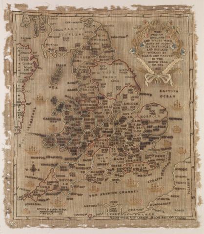
- Date:
- 1806
- Physical Description:
- 1 map : embroidery ; image 49.5 x 60 cm
- Collection:
- Rare Books and Manuscripts
- Credit Line:
- Yale Center for British Art, Gift of Mr. and Mrs. Kent Lydecker in honor of Helen B. Lydecker and Sandra Priest Rose.

- Date:
- 1806
- Physical Description:
- 4 volumes : illustrations, maps, plans, portrait, genealogical table ; 45 cm
- Collection:
- Rare Books and Manuscripts

- Date:
- November 1st, 1819 [that is, 1820]
- Physical Description:
- 1 map on 6 sheets : hand-colored ; 185 x 162 cm, sheets 65 x 79 cm
- Collection:
- Rare Books and Manuscripts

- Date:
- November 1st, 1819 [that is, 1820]
- Physical Description:
- 1 map on 4 sheets : hand-colored, mounted on linen ; 192 x 162 cm, sheets 96 x 81 cm, folded to 32 x 27 cm, in portfolio 36 x 28 cm + 1 book ([2], 17, [1] pages ; 33 cm)
- Collection:
- Rare Books and Manuscripts

- Date:
- 16th. April 1823
- Physical Description:
- 1 map : color ; 74 x 61 cm
- Collection:
- Rare Books and Manuscripts

- Date:
- 1828
- Physical Description:
- 7, [1] pages, LX leaves of plates (some folded) : illustrations (some color), maps (some color), plans ; 45 cm
- Collection:
- Rare Books and Manuscripts

- Date:
- [1836]
- Physical Description:
- 1 map on 4 sheets : hand col., mounted on linen ; 113 x 137 cm, sheets 56 x 68 cm
- Collection:
- Rare Books and Manuscripts

- Date:
- 1838
- Physical Description:
- [5], viii-xii, 72, 32, 24, 70 pages, [142] leaves of plates in various foliations : illustrations, maps, plans ; 56 cm
- Collection:
- Rare Books and Manuscripts

- Date:
- [1839-1874?]
- Physical Description:
- 110 sheets : mounted on linen ; sheets 69 x 98 cm, or smaller + index.
- Collection:
- Rare Books and Manuscripts
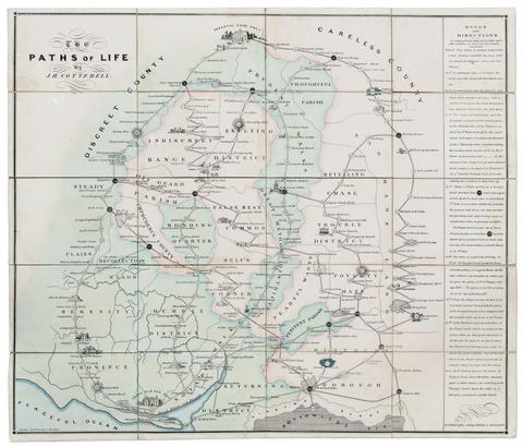
- Date:
- [circa 1840]
- Physical Description:
- 1 game : hand-colored lithograph ; 55 x 64 cm, folded to 16 x 11 cm
- Collection:
- Rare Books and Manuscripts
- Credit Line:
- Yale Center for British Art, Gift of Ellen and Arthur Liman, Yale JD 1957

- Date:
- [between 1840 and 1862]
- Physical Description:
- 1 map : on cloth ; 55 x 56 cm
- Collection:
- Rare Books and Manuscripts

- Date:
- early 1840s?
- Physical Description:
- 1 map : embroidery on linen ; visible image 27 x 21 cm, in frame 33 x 28 cm
- Collection:
- Rare Books and Manuscripts

- Date:
- [1843]
- Physical Description:
- 1 map : color ; 67 x 69 cm
- Collection:
- Rare Books and Manuscripts

- Date:
- [1851?]
- Physical Description:
- 1 atlas (iv, [168] pages, [85] leaves of plates) : 82 maps, illustrations ; 39 cm
- Collection:
- Rare Books and Manuscripts
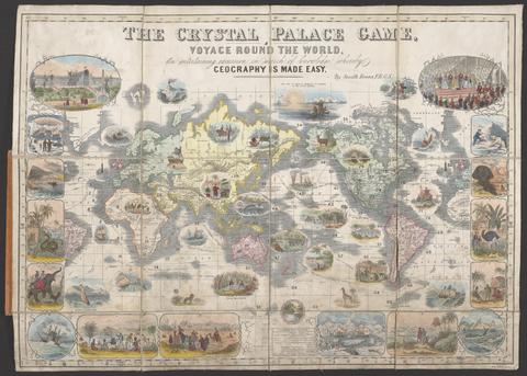
- Date:
- [1854?]
- Physical Description:
- 1 game : color, mounted on linen ; 45.5 x 65 cm, folded to 20.3 x 18 cm
- Collection:
- Rare Books and Manuscripts
- Credit Line:
- Yale Center for British Art, Gift of Ellen and Arthur Liman, Yale JD 1957

- Date:
- [between 1875 and 1909]
- Physical Description:
- 1 jigsaw puzzle (85 pieces) : paper on wood, hand colored ; puzzle 36 x 48 cm, in box 5 x 20 x 23 cm
- Collection:
- Rare Books and Manuscripts
- Credit Line:
- Yale Center for British Art, Gift of Ellen and Arthur Liman, Yale JD 1957

- Date:
- 1878
- Physical Description:
- x, 366 p., [5] leaves of plates ([4] folded) : ill., maps ; 17 cm.+ [1] folded map (73 x 94 cm, folded to 15 x 10 cm.)
- Collection:
- Rare Books and Manuscripts
- Credit Line:
- Yale Center for British Art, Gift of Elisabeth Fairman

- Date:
- [1937]
- Physical Description:
- 1 admission ticket : illustrations, map ; 10 x 11 cm
- Collection:
- Rare Books and Manuscripts

- Date:
- 1943
- Physical Description:
- 20 pages, [1] leaf of plates : illlustrations, maps ; 21 cm
- Collection:
- Rare Books and Manuscripts
- Credit Line:
- Yale Center for British Art, Gift of Stephen Parks, Yale BA 1961.
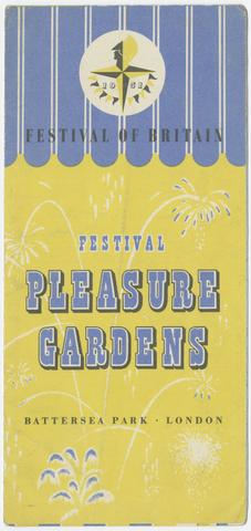
- Date:
- 1951
- Physical Description:
- 1 sheet : illustrations ; 44 x 21 cm, folded to 22 x 11 cm
- Collection:
- Rare Books and Manuscripts
- Date:
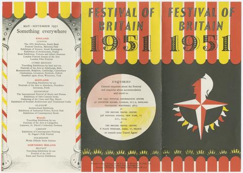
- 1951
- Physical Description:
- 1 folded sheet ([12] pages) : illustrations, maps ; 43 x 31 cm folded to 11 x 31 cm
- Collection:
- Rare Books and Manuscripts
- Date:
- 1990
- Physical Description:
- 126 pages : color illustrations, color maps ; 36 cm
- Collection:
- Reference Library

- Date:
- 2005
- Physical Description:
- 62 cut-paper butterflies ; in glass-fronted box 50 x 61 x 6 cm
- Collection:
- Rare Books and Manuscripts
- Credit Line:
- Yale Center for British Art, Gift of Driek and Michael Zirinsky in honor of Cameron Cartiere and Nick Strauss

- Date:
- 2011
- Physical Description:
- vi, 154 p. : col. ill., col. maps ; 25 cm
- Collection:
- Reference Library
- Date:
- 2014
- Physical Description:
- 240 pages : color illustrations, color maps ; 28 cm
- Collection:
- Reference Library
60. Ordnance survey.

- Date:
- [2014]
- Physical Description:
- [16] pages : color illustrations, maps ; 21 cm
- Collection:
- Rare Books and Manuscripts

- Date:
- 2016
- Physical Description:
- 1 atlas (278 pages) : illustrations (some color), color maps ; 29 cm
- Collection:
- Reference Library