Search Constraints
You searched for:
On-site Access Accessible by appointment in the Study Room
Remove constraint On-site Access: Accessible by appointment in the Study RoomWork Type etching
Remove constraint Work Type: etchingClassification Maps & Atlas (printed)
Remove constraint Classification: Maps & Atlas (printed)Search Results
![London and Westminster in the reign of Queen Elizabeth anno dom. 1563 [cartographic material] / Radulphus Aggus.](https://media.collections.yale.edu/thumbnail/ycba/693f90a8-80a4-4756-8dfb-b6fc214d8949)
- Date:
- October 30th, 1789
- Physical Description:
- 1 map ; 38 x 104 cm
- Collection:
- Rare Books and Manuscripts
- Credit Line:
- Yale Center for British Art, Paul Mellon Collection
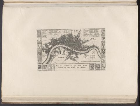
- Date:
- [1666?]
- Physical Description:
- 1 map ; 14 x 24 cm., on sheet 37 x 55 cm.
- Collection:
- Rare Books and Manuscripts
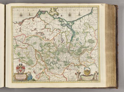
- Date:
- [ca. 1681]
- Physical Description:
- 1 map ; 46 x 52 cm
- Collection:
- Rare Books and Manuscripts
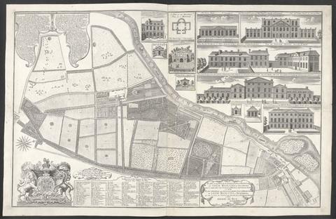
- Date:
- 1734
- Physical Description:
- 1 map : ill. ; 57 x 90 cm., on sheet 62 x 96 cm.
- Collection:
- Rare Books and Manuscripts
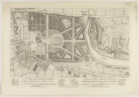
- Date:
- [1736?]
- Physical Description:
- 1 map ; 28 x 48 cm., on sheet 39 x 55 cm.
- Collection:
- Rare Books and Manuscripts
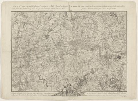
- Date:
- 1748
- Physical Description:
- 1 map ; 44 x 63 cm., on sheet 52 x 66 cm.
- Collection:
- Rare Books and Manuscripts
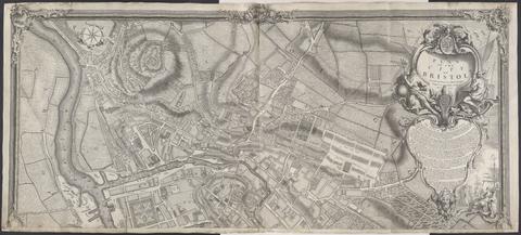
- Date:
- 1743
- Physical Description:
- 1 map on 2 sheets ; 100 x 228 cm., sheets 110 x 122 cm.
- Collection:
- Rare Books and Manuscripts
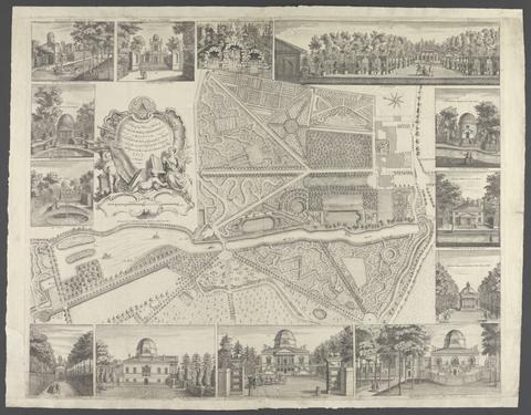
- Date:
- [17--]
- Physical Description:
- 1 map : ill. ; 42 x 66 cm., on sheet 66 x 84 cm.
- Collection:
- Rare Books and Manuscripts
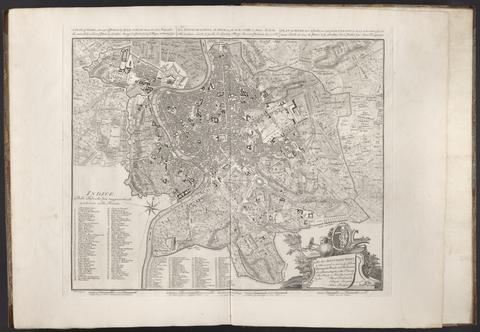
- Date:
- 1750
- Physical Description:
- 1 map ; 43 x 53 cm., on sheet 55 x 74 cm.
- Collection:
- Rare Books and Manuscripts
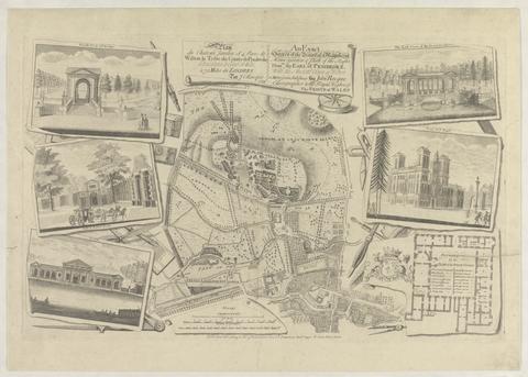
- Date:
- 1754
- Physical Description:
- 1 map : ill. ; 29 x 30 cm., on sheet 47 x 61 cm.
- Collection:
- Rare Books and Manuscripts
![[The travellers guide : being the best mapp of the kingdom of England and principalaty [sic] of Wales. Wherein are delineated 3000 towns and villages more than in any mapp yet extent besides ye notations of bridges & rivers &c. To which is added ye direct and cross roads according to Mr. Ogilby's late survey. / Described by C: Saxton and now carefully corrected with new additions by Phillip Lea].](https://media.collections.yale.edu/thumbnail/ycba/906da49f-9f3d-41c8-9cb7-2f67ee863785)
- Date:
- [1686?]
- Physical Description:
- 1 atlas ([10] sheets) : hand colored maps ; sheets 28 x 69 cm, and smaller
- Collection:
- Rare Books and Manuscripts
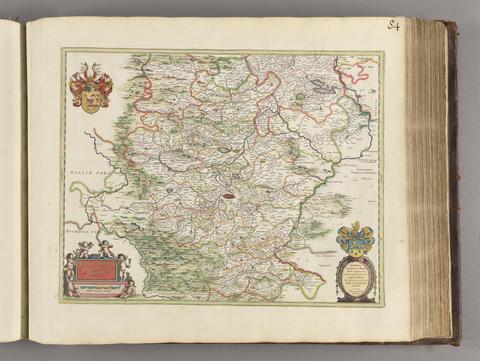
- Date:
- [1650?]
- Physical Description:
- 1 map; 40 x 51 cm
- Collection:
- Rare Books and Manuscripts
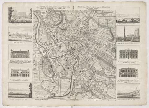
- Date:
- 1750
- Physical Description:
- 1 map ; 48 x 45 cm., on sheet 57 x 78 cm.
- Collection:
- Rare Books and Manuscripts
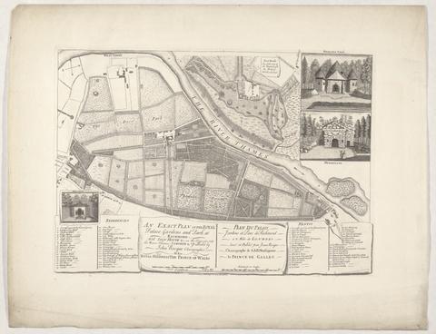
- Date:
- 1754
- Physical Description:
- 1 map : ill. ; 28 x 45 cm., on sheet 44 x 59 cm.
- Collection:
- Rare Books and Manuscripts
- Date:
- [175-?]
- Physical Description:
- 1 map : ill. ; 48 x 45 cm., on sheet 55 x 75 cm.
- Collection:
- Rare Books and Manuscripts

- Date:
- 1756
- Physical Description:
- 1 map ; 54 x 46 cm., on sheet 75 x 55 cm.
- Collection:
- Rare Books and Manuscripts

- Date:
- 1752
- Physical Description:
- 1 map on 4 sheets ; 244 x 204 cm., sheets 75 x 55 cm.
- Collection:
- Rare Books and Manuscripts

- Date:
- 1738
- Physical Description:
- 1 map : ill. ; 38 x 62 cm., on sheet 55 x 75 cm.
- Collection:
- Rare Books and Manuscripts

- Date:
- 1752
- Physical Description:
- 1 map ; 31 x 26 cm., on sheet 36 x 55 cm.
- Collection:
- Rare Books and Manuscripts

- Date:
- 1748
- Physical Description:
- 1 map on 6 sheets ; 222 x 262 cm., sheets 55 x 75 cm.
- Collection:
- Rare Books and Manuscripts

- Date:
- April 25th, 1817
- Physical Description:
- 1 map ; 40 x 53 cm
- Collection:
- Rare Books and Manuscripts

- Date:
- [ca. 1660]
- Physical Description:
- 1 map ; 36 x 48 cm
- Collection:
- Rare Books and Manuscripts

- Date:
- 1750
- Physical Description:
- 1 map ; 25 x 50 cm., on sheet 36 x 55 cm.
- Collection:
- Rare Books and Manuscripts

- Date:
- 1757
- Physical Description:
- 1 map : 48 x 70 cm., on sheet 55 x 75 cm.
- Collection:
- Rare Books and Manuscripts

- Date:
- [1690]
- Physical Description:
- 1 atlas ([25] leaves) : illustrations, maps, plans ; 25 cm
- Collection:
- Rare Books and Manuscripts

- Date:
- 1749
- Physical Description:
- 1 atlas (5, [3] pages, [2], 273, [1] pages of plates) : illustrations, maps, coats of arms ; 21 cm
- Collection:
- Rare Books and Manuscripts

- Date:
- 1754
- Physical Description:
- 1 map ; 47 x 62 cm., on sheet 55 x 75 cm.
- Collection:
- Rare Books and Manuscripts

- Date:
- 17--]
- Physical Description:
- 1 map ; 49 x 31 cm., on sheet 55 x 39 cm.
- Collection:
- Rare Books and Manuscripts

- Date:
- 1737
- Physical Description:
- 1 map : ill. ; 30 x 50 cm., on sheet 55 x 75 cm.
- Collection:
- Rare Books and Manuscripts

- Date:
- 1751
- Physical Description:
- 1 map ; 32 x 46 cm., on sheet 40 x 55 cm.
- Collection:
- Rare Books and Manuscripts

- Date:
- 1740]
- Physical Description:
- 1 map on 4 sheets ; 240 x 186 cm., on sheets 66 x 55 cm.
- Collection:
- Rare Books and Manuscripts

- Date:
- 1751
- Physical Description:
- 1 atlas ([2], [32] leaves) : maps ; 55 cm.
- Collection:
- Rare Books and Manuscripts

- Date:
- 1760]
- Physical Description:
- 1 map on 2 sheets ; 100 x 140 cm., sheets 55 x 75 cm.
- Collection:
- Rare Books and Manuscripts

- Date:
- [between 1762 and 1773]
- Physical Description:
- 1 map on 2 sheets ; 120 x 188 cm., sheets 67 x 108 cm.
- Collection:
- Rare Books and Manuscripts

- Date:
- 1754,
- Physical Description:
- 1 map ; 41 x 65 cm., on sheet 55 x 75 cm.
- Collection:
- Rare Books and Manuscripts

- Date:
- 1736
- Physical Description:
- 1 map ; 52 x 65 cm., on sheet 54 x 69 cm.
- Collection:
- Rare Books and Manuscripts

- Date:
- [1799?]
- Physical Description:
- 1 atlas ([142] leaves, some folded) : 74 hand-colored maps ; 55 cm
- Collection:
- Rare Books and Manuscripts

- Date:
- [17--]
- Physical Description:
- 1 map ; 30 x 49 cm., on sheet 40 x 55 cm.
- Collection:
- Rare Books and Manuscripts

- Date:
- 1746
- Physical Description:
- 1 map : ill. ; 44 x 62 cm., on sheet 55 x 75 cm.
- Collection:
- Rare Books and Manuscripts

- Date:
- 1754
- Physical Description:
- 1 map ; 46 x 69 cm., on sheet 55 x 75 cm.
- Collection:
- Rare Books and Manuscripts

- Date:
- 1750
- Physical Description:
- 1 map : ill. ; 43 x 39 cm., on sheet 56 x 75 cm.
- Collection:
- Rare Books and Manuscripts

- Date:
- 1847
- Physical Description:
- 1 view ; 400 x 14 cm., folded in cover 16 x 11 cm. + text (38 p. ; 15 cm.)
- Collection:
- Rare Books and Manuscripts

- Date:
- 1753
- Physical Description:
- 1 map ; 44 x 49 cm., on sheet 55 x 75 cm.
- Collection:
- Rare Books and Manuscripts

- Date:
- 1757
- Physical Description:
- 1 map on 2 sheets ; 96 x 140 cm., sheets 55 x 75 cm.
- Collection:
- Rare Books and Manuscripts

- Date:
- [1673]
- Physical Description:
- 1 map ; 29.9 x 27 cm
- Collection:
- Rare Books and Manuscripts
- Credit Line:
- Yale Center for British Art, Gift of David Alan Richards, Yale BA 1967, JD 1972

- Date:
- 1748
- Physical Description:
- 1 map : ill. ; 57 x 90 cm., on sheet 62 x 93 cm.
- Collection:
- Rare Books and Manuscripts

- Date:
- 1754
- Physical Description:
- 1 map ; 43 x 62 cm., on sheet 55 x 74 cm.
- Collection:
- Rare Books and Manuscripts

- Date:
- Jany. 1st. 1803
- Physical Description:
- 1 map ; 42 x 63 cm, folded to 11 x 15 cm
- Collection:
- Rare Books and Manuscripts

- Date:
- 1825
- Physical Description:
- 1 view ; 24 x 233 cm, accordion folded to 24 x 18 cm
- Collection:
- Rare Books and Manuscripts

- Date:
- 1753
- Physical Description:
- 1 map : ill. ; 27 x 55 cm., on sheet 55 x 75 cm.
- Collection:
- Rare Books and Manuscripts

- Date:
- 1751
- Physical Description:
- 1 map ; 38 x 52 cm., on sheet 55 x 75 cm.
- Collection:
- Rare Books and Manuscripts

- Date:
- 1746
- Physical Description:
- 1 map on 24 sheets ; 203 x 385 cm., sheets 77 x 57 cm.
- Collection:
- Rare Books and Manuscripts

- Date:
- 1737
- Physical Description:
- 1 map : ill. ; 46 x 63 cm., on sheet 55 x 75 cm.
- Collection:
- Rare Books and Manuscripts

- Date:
- 1741
- Physical Description:
- 1 map ; 53 x 69 cm., on sheet 55 x 75 cm.
- Collection:
- Rare Books and Manuscripts
55. A plan of Geneva, with the adjacent parts = Plan de Geneve, avec ses environs / P. Martel, delin.

- Date:
- 1743
- Physical Description:
- 1 map ; 48 x 64 cm., on sheet 55 x 75 cm.
- Collection:
- Rare Books and Manuscripts

- Date:
- 1751
- Physical Description:
- 1 map ; 44 x 62 cm., on sheet 55 x 73 cm.
- Collection:
- Rare Books and Manuscripts