Search Constraints
You searched for:
Period 17th century
Remove constraint Period: 17th centuryLanguage English
Remove constraint Language: EnglishClassification Maps & Atlas (printed)
Remove constraint Classification: Maps & Atlas (printed)Search Results

- Date:
- [1856]
- Physical Description:
- 1 map : col. ; 37.6 x 55.4 cm.
- Collection:
- Rare Books and Manuscripts

- Date:
- 1881-1882
- Physical Description:
- 1 portfolio (7 plates) : all ill. ; 53 x 295 cm, on 7 sheets 80 x 59 cm, in cover 79 x 58 cm.
- Collection:
- Rare Books and Manuscripts

- Date:
- [1686?]
- Physical Description:
- 1 atlas ([60] leaves) : 30 hand-colored maps ; 54 cm
- Collection:
- Rare Books and Manuscripts
![Academiarum totius Europae seu orbis Christiani iuxta suas provincias nova tabula ad usum studiosorum emendate accomodate [cartographic material] / W. Kip sculp.](https://media.collections.yale.edu/thumbnail/ycba/73140180-2c50-4f87-81ba-d3ce924ad548)
- Date:
- An 1602
- Physical Description:
- 1 map ; 80 mm in diameter, on sheet 13 x 18 cm.
- Collection:
- Rare Books and Manuscripts

- Date:
- [ca. 1602]
- Physical Description:
- 1 map ; 80 mm in diameter, on sheet 13 x 18 cm.
- Collection:
- Rare Books and Manuscripts

- Date:
- [ca. 1602]
- Physical Description:
- 1 map ; 80 mm in diameter, on sheet 13 x 18 cm.
- Collection:
- Rare Books and Manuscripts

- Date:
- [ca. 1602]
- Physical Description:
- 1 map ; 80 mm in diameter, on sheet 13 x 18 cm.
- Collection:
- Rare Books and Manuscripts

- Date:
- [Amsterdam?] :
- Physical Description:
- 1 atlas ([44] leaves of plates) ; 44 maps ; 13 x 18 cm.
- Collection:
- Rare Books and Manuscripts

- Date:
- [circa 1610?]
- Physical Description:
- 1 atlas ([110 ] leaves) : 55 maps ; 43 cm
- Collection:
- Rare Books and Manuscripts

- Date:
- 1606 [i.e. 1608?]
- Physical Description:
- 1 atlas ([510] pages) : 192 maps ; 42 cm (folio)
- Collection:
- Rare Books and Manuscripts

- Date:
- 1610
- Physical Description:
- 1 map : engraving ; 37 x 50 cm
- Collection:
- Rare Books and Manuscripts

- Date:
- 1610
- Physical Description:
- 1 map : engraving ; 37 x 42 cm
- Collection:
- Rare Books and Manuscripts
- Credit Line:
- Yale Center for British Art, Gift of David Alan Richards, Yale BA 1967, JD 1972
![The theatre of the empire of Great Britaine : presenting an exact geography of the kingdomes of England, Scotland, Ireland, and the iles adioyning : with the shires, hundreds, cities and shire-townes, within [the] kingdome of England / divided and described by Iohn Speed.](https://media.collections.yale.edu/thumbnail/ycba/05faa311-179e-44bd-a185-63bd2c871197)
- Date:
- [1612]
- Physical Description:
- [14], 146 [that is 280], [10] pages : illustrations (woodcuts), 67 maps (metal cuts) ; 46 cm (folio)
- Collection:
- Rare Books and Manuscripts

- Date:
- 1627
- Physical Description:
- [16], 146, [10] pages, [134] leaves of plates : maps ; 45 cm (folio)
- Collection:
- Rare Books and Manuscripts

- Date:
- 1627
- Physical Description:
- 1 atlas ([2], 44, 5-8 pages) : illustrations, 22 maps ; 43 cm
- Collection:
- Rare Books and Manuscripts

- Date:
- 1966
- Physical Description:
- xv, 44 (i.e. 86), 5-8 (i.e. 6), 43-56 p. illus., 29 fold. maps, port. 46 cm.
- Collection:
- Reference Library

- Date:
- 1635
- Physical Description:
- 1 atlas ([22], 401, [1], 409-599, 520-566, 649-930, [32] pages, 2 leaves of plates) : illustrations, maps (1 folded) ; 31 cm
- Collection:
- Rare Books and Manuscripts

- Date:
- 1633 [i.e. 1636]-1638
- Physical Description:
- 2 volumes (462 pages) : maps ; 47 cm
- Collection:
- Rare Books and Manuscripts

- Date:
- anno 1636[-1638]
- Physical Description:
- 2 volumes : illustrations, maps (some folded), portraits ; 49 cm (folio)
- Collection:
- Rare Books and Manuscripts

- Date:
- 1637
- Physical Description:
- 1 atlas ([22], 56, 55-56, [2], 401, [1], 409-599, 520-566, 649-930, [32] pages, 5 leaves of plates) : illustrations, maps ; 30 cm
- Collection:
- Rare Books and Manuscripts
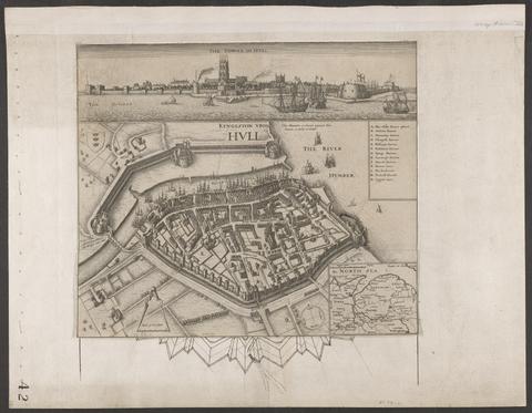
- Date:
- circa 1642
- Physical Description:
- 1 view : illustrations ; 31 x 30 cm
- Collection:
- Rare Books and Manuscripts
- Date:
- [1970]
- Physical Description:
- 16 p., 230 plates : 2 col. illus., coats of arms, maps. ; 54 cm
- Collection:
- Reference Library

- Date:
- [1646?]
- Physical Description:
- 1 atlas ([57] leaves) : 57 maps ; 44 x 56 cm
- Collection:
- Rare Books and Manuscripts

- Date:
- 1646
- Physical Description:
- 1 atlas ([2], 44 [i.e. 88] pages) : illustrations, 22 maps ; 43 cm
- Collection:
- Rare Books and Manuscripts

- Date:
- [1650]
- Physical Description:
- 1 atlas ([16], 5-8, 146 [i.e. 280], [10] pages) : illustrations, maps ; 45 cm (folio)
- Collection:
- Rare Books and Manuscripts

- Date:
- 1651 [1676 printing]
- Physical Description:
- 1 map : hand col. ; 2 hemipsheres each 25 cm. in diam., on sheet 45 x 57 cm.
- Collection:
- Rare Books and Manuscripts

- Date:
- [1662?]
- Physical Description:
- 1 map ; 36 x 44 cm.
- Collection:
- Rare Books and Manuscripts
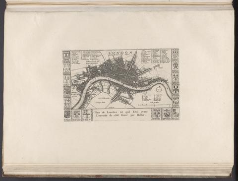
- Date:
- [1666?]
- Physical Description:
- 1 map ; 14 x 24 cm., on sheet 37 x 55 cm.
- Collection:
- Rare Books and Manuscripts

- Date:
- [1671]-[1672]
- Physical Description:
- 1 atlas (2 volumes) : illustrations, maps, portraits ; 45 cm (folio)
- Collection:
- Rare Books and Manuscripts

- Date:
- [1673]
- Physical Description:
- 1 map ; 29.9 x 27 cm
- Collection:
- Rare Books and Manuscripts
- Credit Line:
- Yale Center for British Art, Gift of David Alan Richards, Yale BA 1967, JD 1972

- Date:
- MDCLXXV [1675]
- Physical Description:
- 1 atlas ([26], 200, [4] pages, [203] leaves of plates (some folded)) : illustrations, maps ; 43 cm (folio)
- Collection:
- Rare Books and Manuscripts

- Date:
- MDCLXXV [1675]
- Physical Description:
- 1 atlas ([34], 200, [4] pages, [203] leaves of plates (some folded)) : illustrations, maps ; 44 cm (folio)
- Collection:
- Rare Books and Manuscripts

- Physical Description:
- 52 maps : ill. ; on playing cards 9.5 x 5.5 cm.
- Collection:
- Rare Books and Manuscripts

- Date:
- MDCLXXVI [1676]
- Physical Description:
- [16], 126, 5-6, 5-8, [22], 129-146, [14], 56, [12] pages, [2] leaves of plates : illustrations, coats of arms, tables ; 46 cm (folio)
- Collection:
- Rare Books and Manuscripts

- Date:
- [1676]
- Physical Description:
- 1 map ; 38 x 50 cm., on sheet 44 x 56 cm.
- Collection:
- Rare Books and Manuscripts
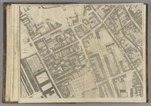
- Date:
- 1677]
- Physical Description:
- 1 map : 160 x 255 cm. on 20 sheets 40 x 51 cm.
- Collection:
- Rare Books and Manuscripts

- Date:
- [ca. 1677]
- Physical Description:
- 1 map : engraving ; 42 x 52 cm
- Collection:
- Rare Books and Manuscripts

- Date:
- [between 1677 and 1679]
- Physical Description:
- 1 atlas ([4], 12, [2] pages, [79] leaves of plates) : 39 maps ; 46 cm (folio)
- Collection:
- Rare Books and Manuscripts

- Date:
- [1678]
- Physical Description:
- 1 map : engraving ; 50 x 57 cm, on sheet 54 x 63 cm
- Collection:
- Rare Books and Manuscripts
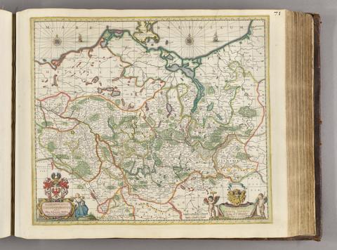
- Date:
- [ca. 1681]
- Physical Description:
- 1 map ; 46 x 52 cm
- Collection:
- Rare Books and Manuscripts

- Date:
- [approximately 1682?]
- Physical Description:
- 1 map : hand colored ; 48 x 48 cm
- Collection:
- Rare Books and Manuscripts

- Date:
- [19--?]
- Physical Description:
- 1 map ; 48 x 59 cm., on sheet 64 x 78 cm.
- Collection:
- Rare Books and Manuscripts

- Date:
- [1685?]
- Physical Description:
- 1 map : engraving, hand-colored ; 48 x 55 cm, on sheet 53 x 65 cm
- Collection:
- Rare Books and Manuscripts
![[The travellers guide : being the best mapp of the kingdom of England and principalaty [sic] of Wales. Wherein are delineated 3000 towns and villages more than in any mapp yet extent besides ye notations of bridges & rivers &c. To which is added ye direct and cross roads according to Mr. Ogilby's late survey. / Described by C: Saxton and now carefully corrected with new additions by Phillip Lea].](https://media.collections.yale.edu/thumbnail/ycba/906da49f-9f3d-41c8-9cb7-2f67ee863785)
- Date:
- [1686?]
- Physical Description:
- 1 atlas ([10] sheets) : hand colored maps ; sheets 28 x 69 cm, and smaller
- Collection:
- Rare Books and Manuscripts

- Date:
- 1693
- Physical Description:
- 2 volumes : maps, illustrations ; 55 cm (fol.)
- Collection:
- Rare Books and Manuscripts

- Date:
- [1694?]
- Physical Description:
- 1 atlas ([115] leaves) : 57 hand-colored maps ; 53 cm
- Collection:
- Rare Books and Manuscripts
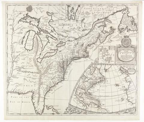
- Date:
- [ca. 1695]
- Physical Description:
- 1 map : engraving ; 51 x 60 cm
- Collection:
- Rare Books and Manuscripts

- Date:
- [1695?]
- Physical Description:
- 1 map ; 41 x 37 cm
- Collection:
- Rare Books and Manuscripts
- Credit Line:
- Yale Center for British Art, Gift of David Alan Richards, Yale BA 1967, JD 1972

- Date:
- [1695?]
- Physical Description:
- 1 map ; 36 x 41 cm
- Collection:
- Rare Books and Manuscripts
- Credit Line:
- Yale Center for British Art, Gift of William H. Mandel, Yale BFA 1953, and Robert L. Russell, Yale MA 1954

- Date:
- [1695]
- Physical Description:
- 1 map : engraving ; 34 x 41 cm, on sheet 40 x 47 cm
- Collection:
- Rare Books and Manuscripts

- Date:
- [1699]
- Physical Description:
- 1 map on 13 sheets ; 130 x 238 cm, on sheets 53 x 72 cm + 1 index map (28 x 51 cm)
- Collection:
- Rare Books and Manuscripts