Search Constraints
You searched for:
Collection Rare Books and Manuscripts
Remove constraint Collection: Rare Books and ManuscriptsPeriod 19th century
Remove constraint Period: 19th centuryAssociated Places Wales
Remove constraint Associated Places: WalesSearch Results
1
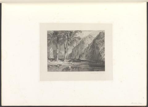
- Picturesque views in England and Wales
- MDCCCXXXVIII [1838]
2
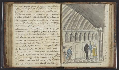
- A tour in North Wales
- 1817
3
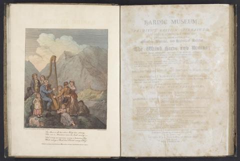
- The bardic museum
- 1802
4
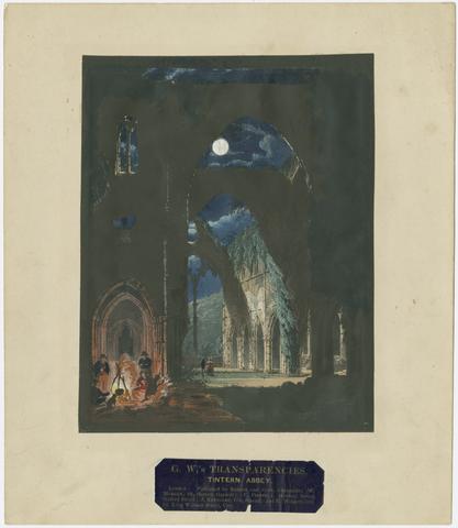
- G. W.'s transparencies
- [approximately 1840?]
5
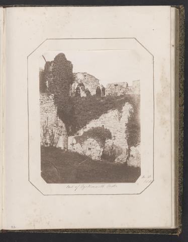
- Sarah Annette Jones photograph album
- 1853-1855
6
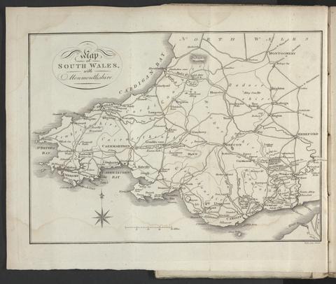
- A tour throughout South Wales and Monmouthshire
- 1803
![Great Britain. Ordnance Survey, cartographer, publisher. [Old series Ordnance Survey maps of England and Wales]](https://media.collections.yale.edu/thumbnail/ycba/00e4c053-1da0-4b6a-9606-069ea90649fa)
7
- [Old series Ordnance Survey maps of England and Wales]
- 1805-1834 [i.e. 1834-1835?]

8
- The beauties of England and Wales, or, Delineations, topographical, historical, and descriptive, of each county
- 1801-1815
9
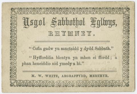
- Ysgol Sabbothol Eglwys
- [1890?]

10
- Picturesque views in England and Wales
- MDCCCXXXVIII [1838]
11
- University of Cambridge photograph album
- ca. 1878-1879
12
- An atlas, comprising maps of the several counties, divided into unions, and of the islands of Guernsey, Jersey, and Man
- 1842
13
- A topographical dictionary of Wales
- 1840
14
- Curiosities of Great Britain. England & Wales delineated
- [185-?]
15
- Introduction to the Original delineations, topographical, historical, and descriptive, intituled The beauties of England and Wales
- 1818
16
- Harriet Francis Townshend sketchbook,
- 1820-1825
17
- A Picturesque description of North Wales
- 1823
18
- England and Wales
- [1851?]
19
- Curiosities of Great Britain. England & Wales delineated
- 185-?]
20
- Welsh scenery
- 1823
21
- The Cambrian Mountains, or, A tour through Wales
- 1851
22
- [Old series Ordnance Survey maps of England and Wales]
- Novr. 9th, 1843 [i.e. ca. 1853-1874?]
23
- The banks of Wye
- 1811
24
- The Welsh interpreter
- 1831
25
- New and Improved map of England and Wales, including the principal part of Scotland
- 16th. April 1823
26
- [Old series Ordnance Survey maps of England and Wales]
- [1839-1874?]
27
- Welsh scenery
- 1825
28
- A collection of views in Wales
- 1806
29
- Photograph album of scenes in the Lake District, Cheshire, Scotland, and Wales
- 1860s
30
- Peacock's Superior dissected maps
- [between 1875 and 1909]
31
- Wales illustrated
- 1830-1831
32
- Walker's tour through England and Wales
- January 2nd 1809
33
- The progress of architecture,
- 1830
34
- Picturesque scenery in North Wales
- 1842
35
- Red cross, or, Young America in England and Wales
- 1868
36
- Out for a holiday
- 1880, August 10-1881, August 15
37
- British Isles
- [1895-1913]
38
- Pigot and Co.'s national commercial directory
- 1830
39
- Ordnance Survey of Ireland
- [1858-1862]
40
- A map of England & Wales
- 1839
41
- The Cambrian traveller's guide, in every direction
- 1813
42
- Selections from a sketch book
- 1847
43
- Letters on the scenery of Wales
- 1821
44
- Snowdonis
- [186-?]
45
- Eight select views in the County of Caernarvon, drawn from nature, and on stone
- [1827]
46
- Recollections of Bala and neighbourhood
- [184-?]
47
- Atlas of the counties of England
- April 1st, 1834
48
- The banks of Wye
- 1823
49
- Pigot and Co.'s national commercial directory for 1828-29
- [1828]
50
- A tour in Wales, and through several counties of England, including both the universities, performed in the summer of 1805
- 1806